Randi
Tyler
Posted: June 27th 2018 Updated:
June 3rd 2023
Shavano/Tabeguache Traverse
This was a lovely hike with a fun group of friends. Both peaks are class 2, largely due to the steep grade and rock-steps at the summits. This was also the trek where Tyler tried out his fancy new watch…I am not impressed (see the difference in stats below).
Tyler’s Watch Stats…the for-realsies stats are below #WatchBatteryFail
- Saturday, June 9, 2018 5:34 AM MDT
- Distance: 9.4 miles
- Duration: 8 hours, 27 minutes, and 2 seconds
- Average Speed: 1.1 mph
- Minimum Elevation: 9536 feet
- Maximum Elevation: 13743 feet (the watch doesn’t even give us credit for a 14er summit…wth?)
- Total climb: 5048 feet
- Total descent: 3225 feet
ACTUAL Stats…according to 14ers.com
- Saturday, June 9, 2018 5:34 AM MDT
- Distance: 11.0 miles
- Duration: probably around 10 hours-ish (we don’t actually know for sure…again…don’t rely on watch batteries kids)
- Average Speed: probably 1.5-ish
- Minimum Elevation: 9750 feet
- Maximum Elevation: 14155 feet
- Total climb: 5600 feet
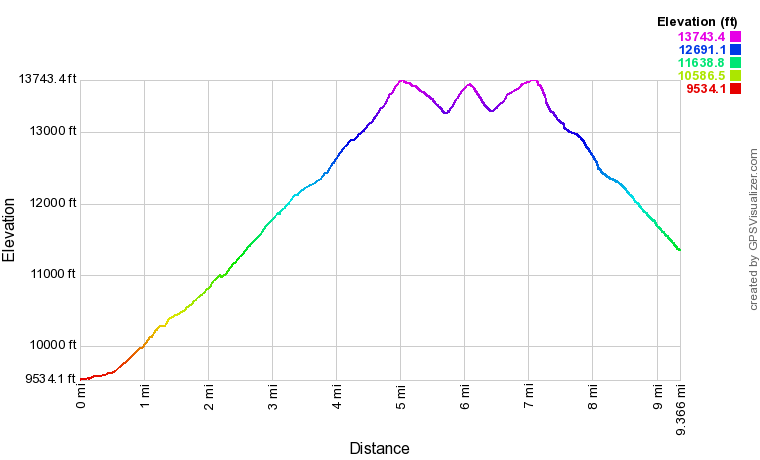
Elevation Profile for the hike
Shavano and Tabeguache on the west side of Chaffee County are part of the Sawatch Range and are named in honor of the Ute Indians who occupied the region for roughly six centuries. Our group drove out from Denver the night before and easily found great car camping options just beyond the trailhead.
The trek starts with an all-too-short bit of trail where the Shavano/Tabeguache join with the Colorado Trail. Every time I touch the CO Trail, I think how well maintained and beautiful it is. Then the reality of the day…and the elevation gain…sets in. These peaks are not joking with the elevation gain. Up and up and up and up we go.
Shavano is steep and one large rock step-up after another.
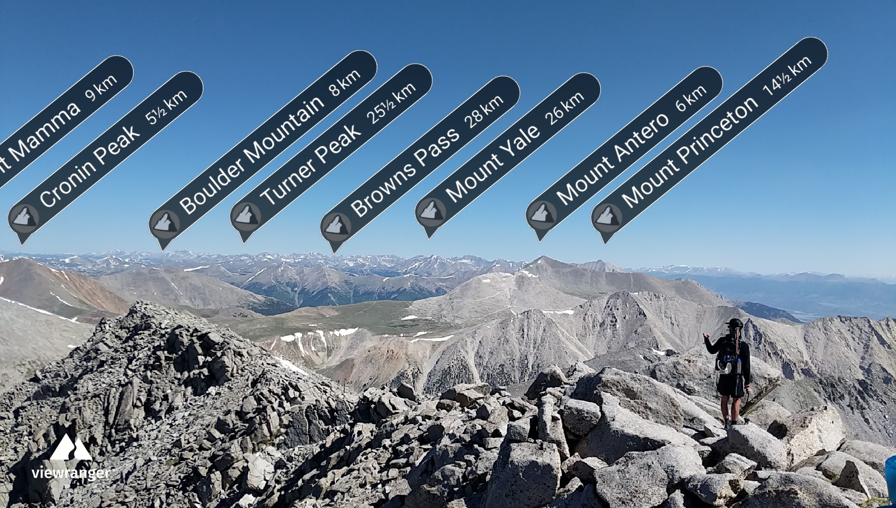
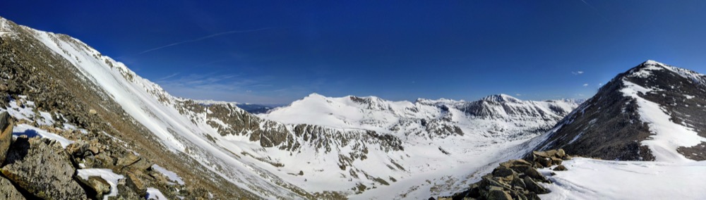
From Shavano summit.
Only three of us carried on to Tabeguache.
Despite his morning of vomiting, Tyler seemed in high spirits as we trekked toward Tab.
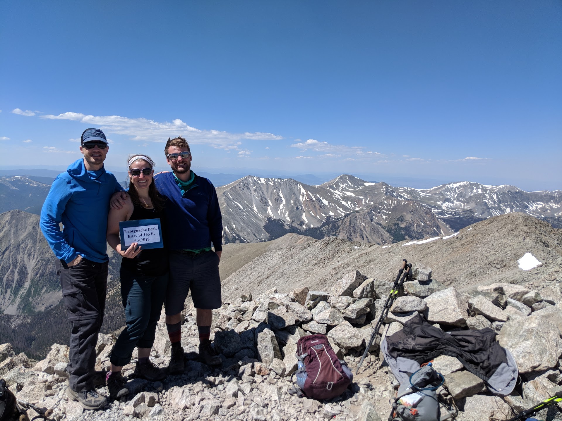
After a quick and dirty one mile and 500 feet elevation gain we popped over to Tab’s summit.
Tyler, Nick, and I...right before we realized we still have to re-summit Shavano before our descent back to trailhead.
The slow and long trek back down was a reminder that up is far more enjoyable than down.
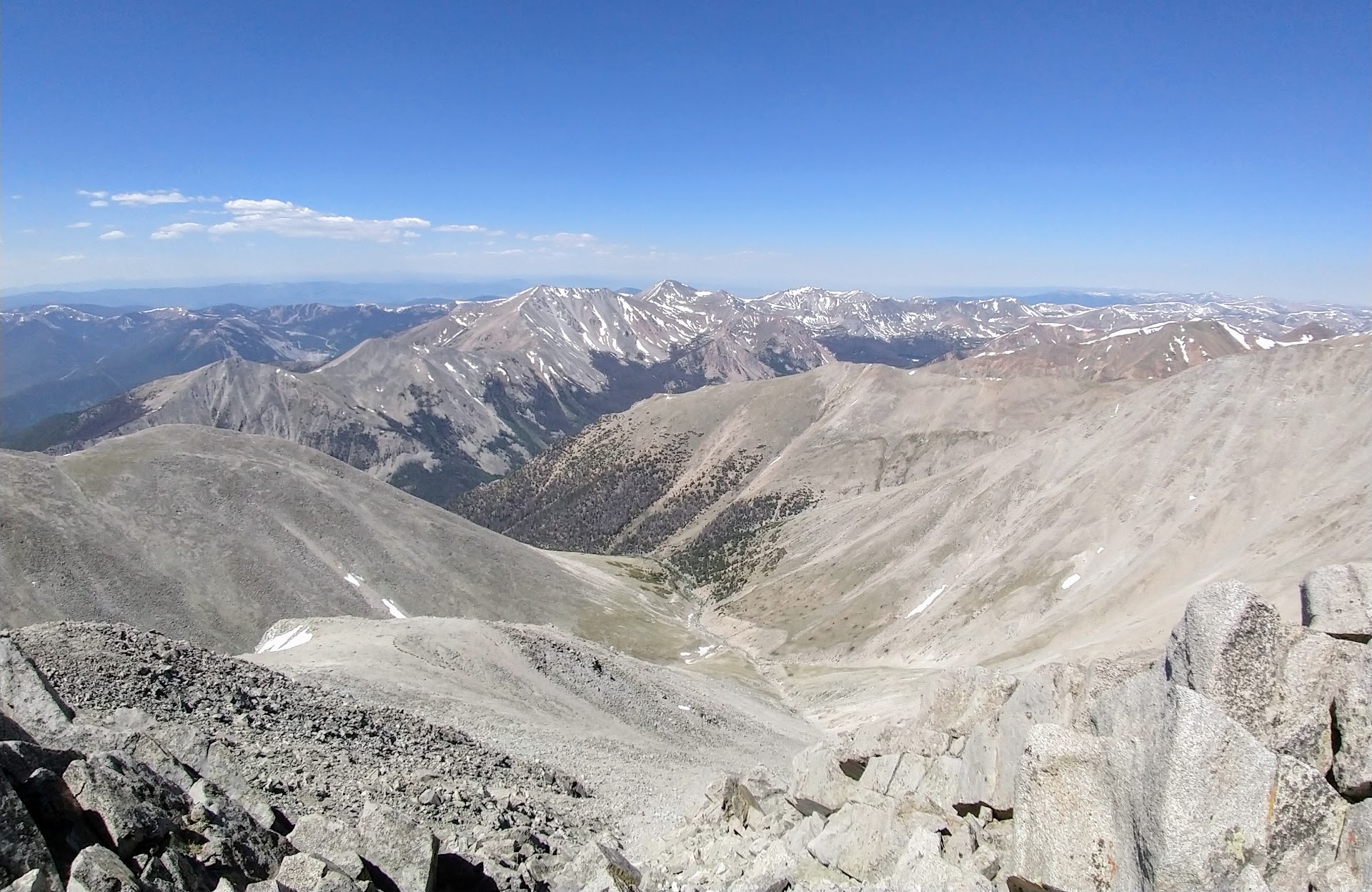
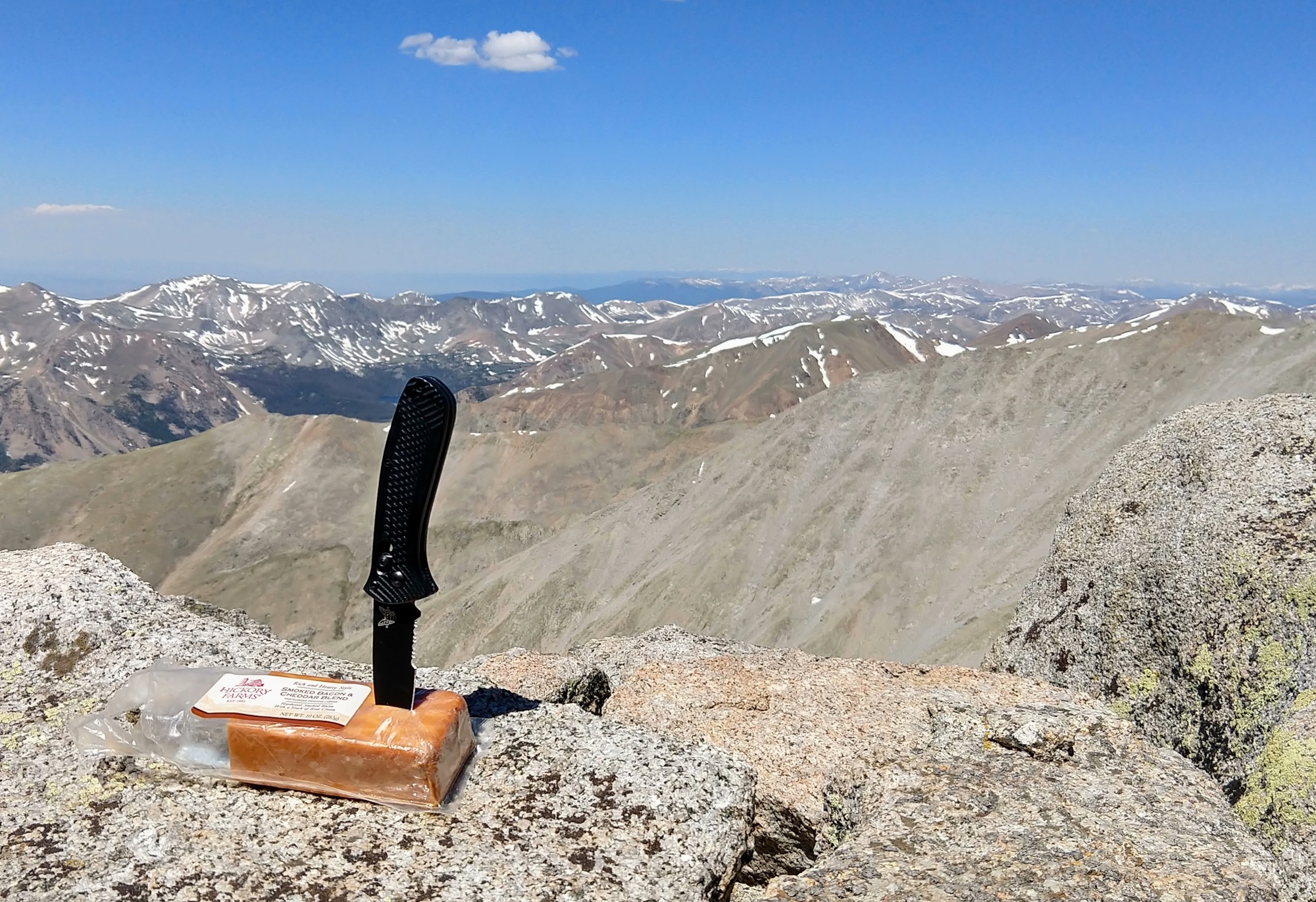
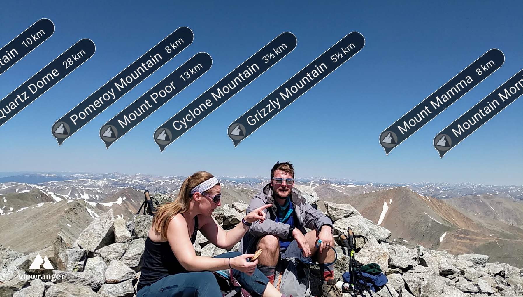
More summit views!
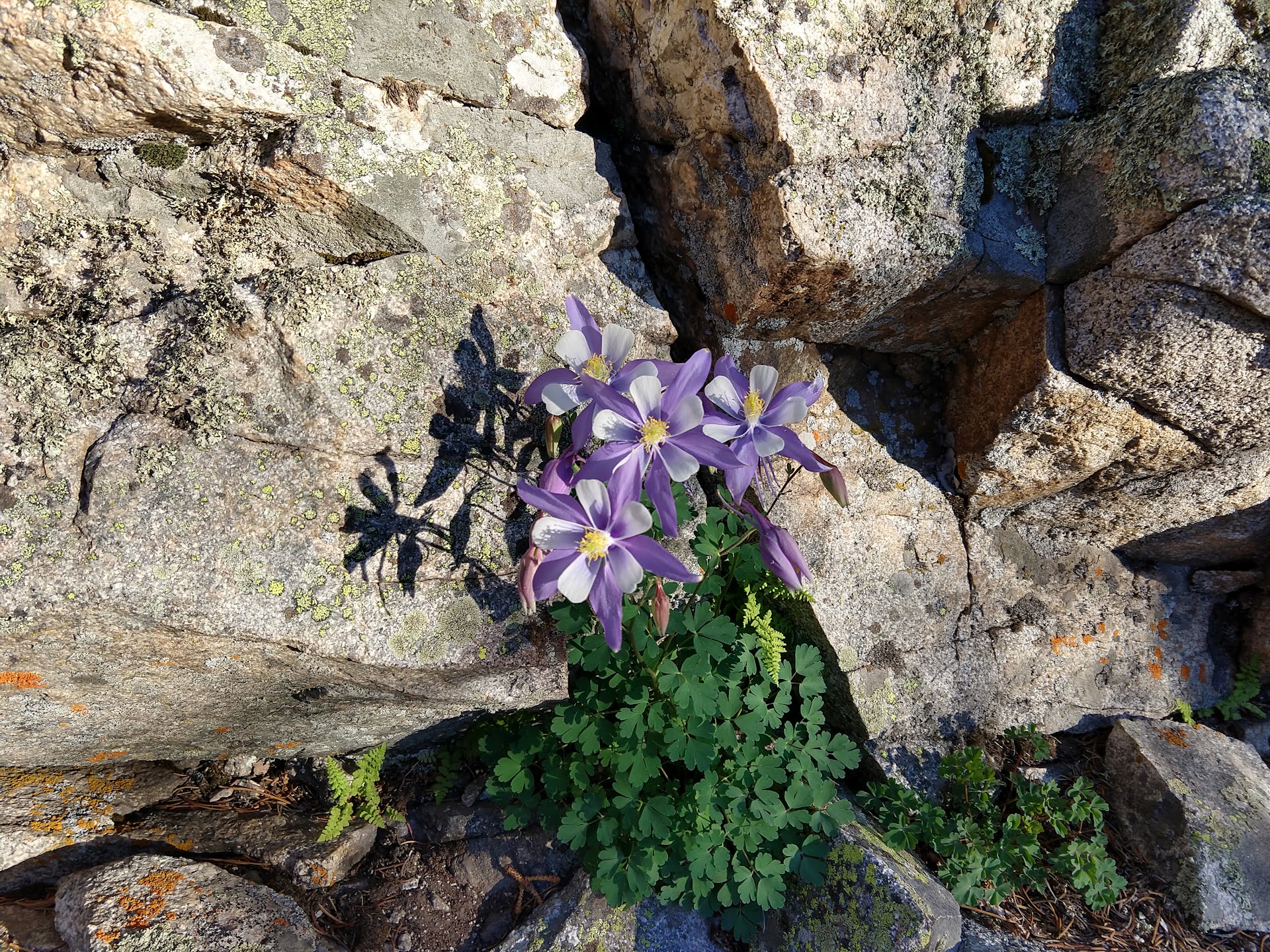
Bonus Columbine from the start of the hike.