Tyler
Posted: June 26th 2018 Updated:
July 28th 2026
Missouri Mountain
After cramming Oxford/Belford into one looong and painful day in 2012, we elected to complete Missouri Mountain as an overnight backpack trek…and we regret nothing.
Quick Stats:
From trail head to campsite
Saturday, July 8, 2017 2:31 PM MDT
Distance: 1.7 miles
Duration: 1 hours, 42 minutes, and 8 seconds
Average Speed: 1.0 mph
Minimum Elevation: 9577 feet
Maximum Elevation: 11260 feet
Total climb: 1683 feet
Total descent: 56 feet
The hike to the campsite was a pretty aggressive uphill with our full camping setup
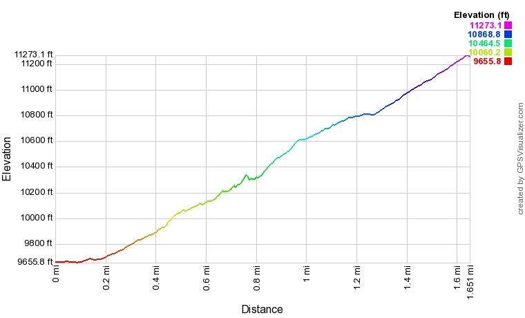
From campsite to summit to trailhead
Sunday, July 9, 2017 6:36 AM MDT
Distance: 9.2 miles
Duration: 9 hours, 9 minutes, and 4 seconds
Average Speed: 1.0 mph
Minimum Elevation: 9621 feet
Maximum Elevation: 14040 feet
Total climb: 3547 feet
Total descent: 5229 feet
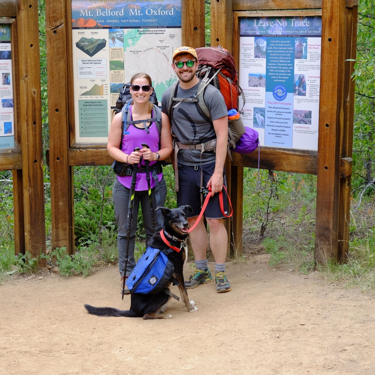
Randi, Andrew, and Marley at the trailhead bags packed!
Missouri, Belford, and Oxford can all be completed from the Missouri Gulch trailhead. After ~2.25 miles from the trailhead the trail splits with Missouri to the right and Belford/Oxford to the left.
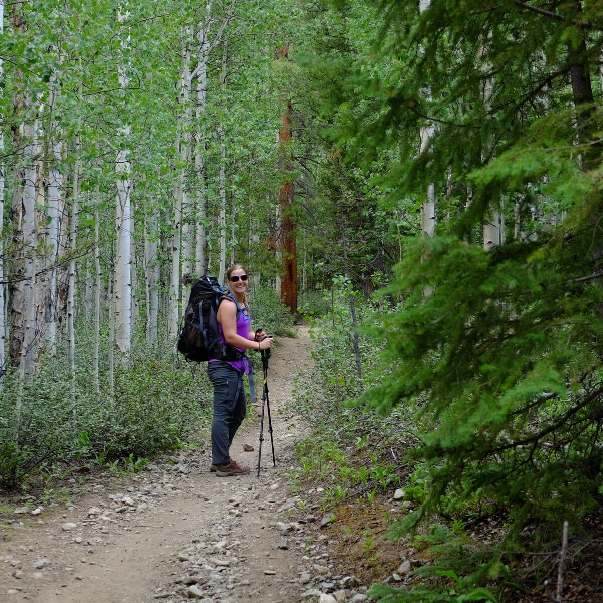
The trail starts off with a lovely trek through an aspen grove.
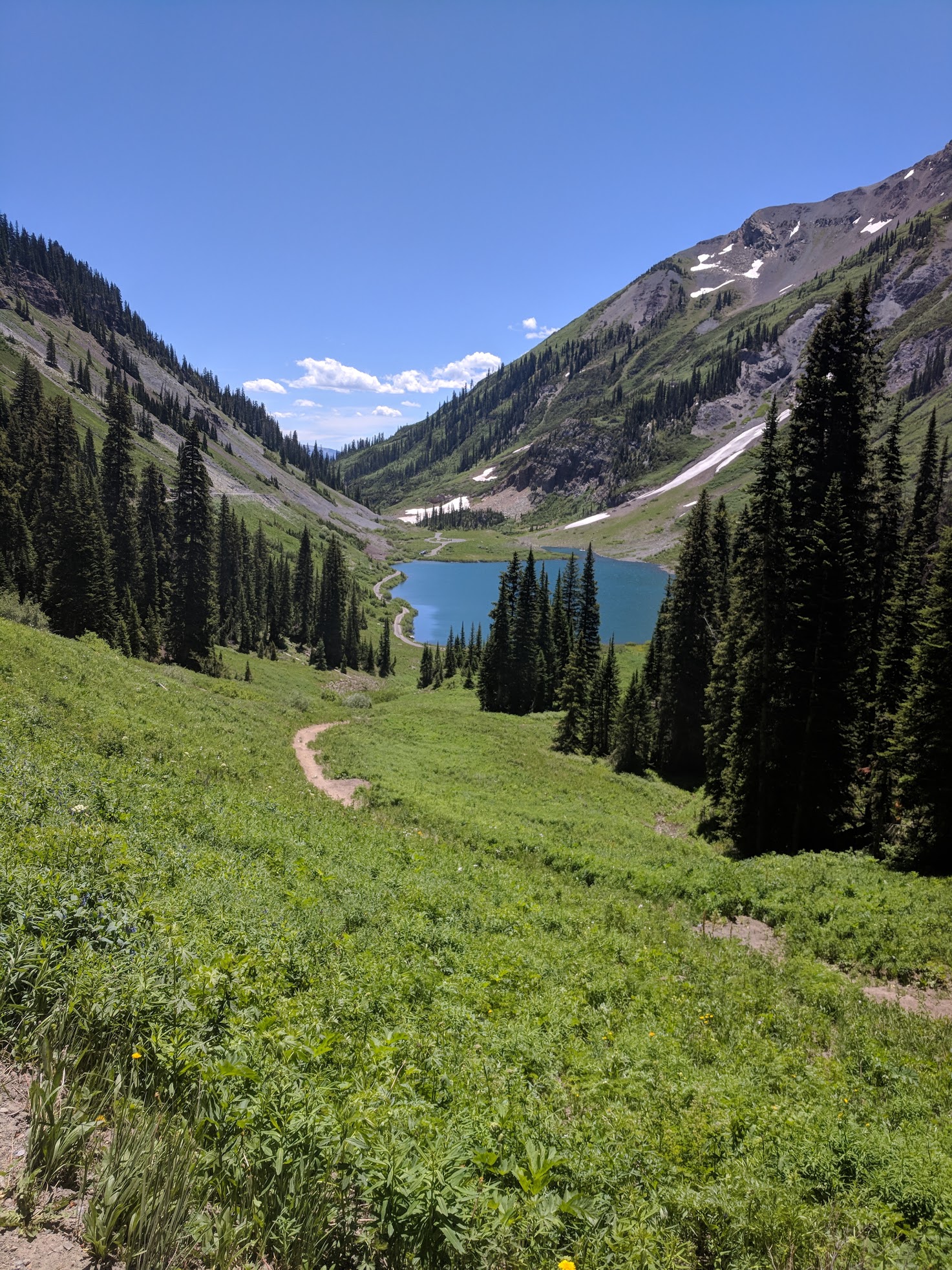
There is a great campsite right around 1.75 miles in, before you exit the trees. The campsite has a great snowmelt stream running about a quarter-mile away. This enables a hiker to get a good 1,500+ elevation gain out of the way before attempting either 14er trek…absolutely ideal!
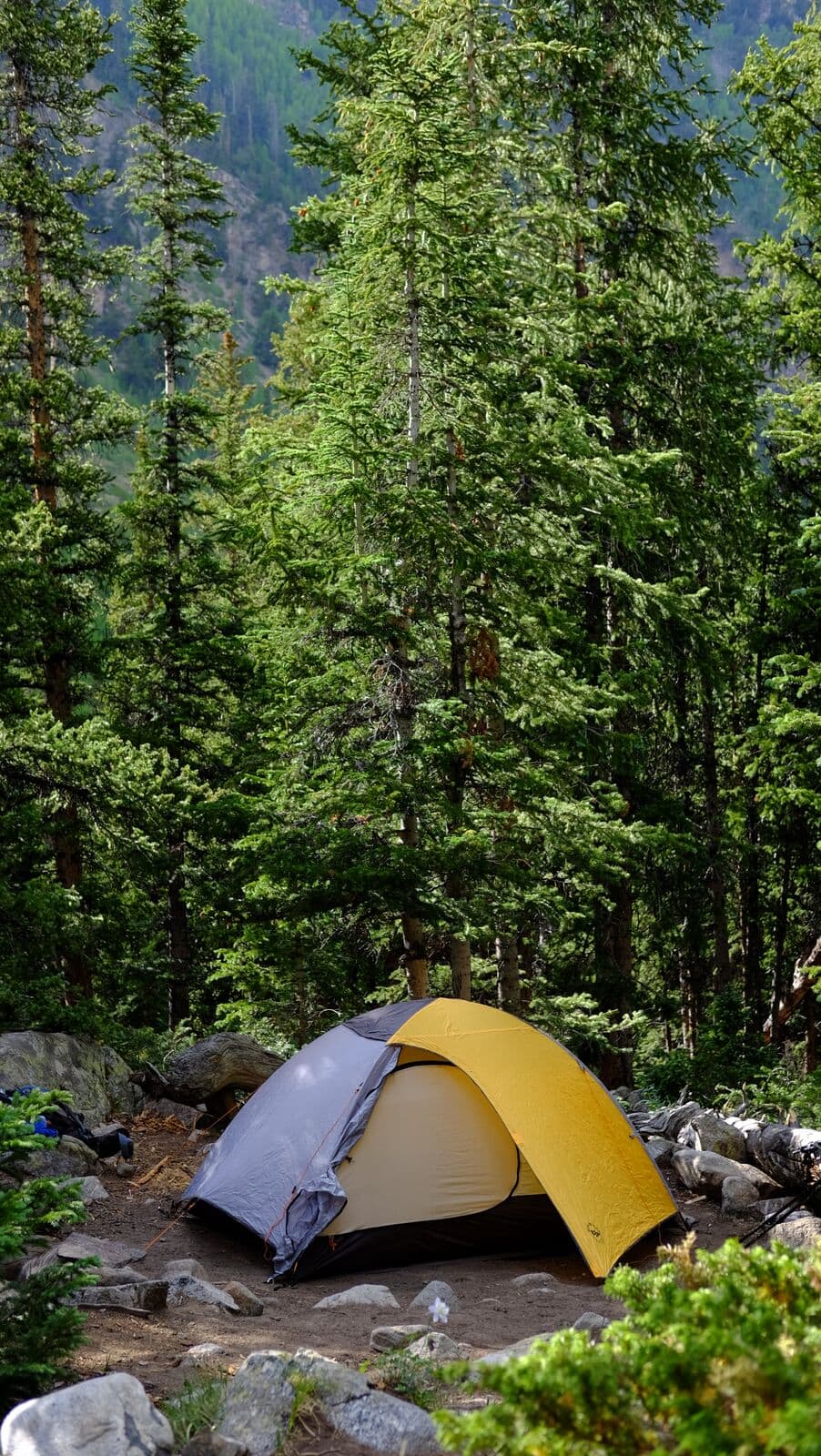
Perfect camp spot.
After the steep (but short), uphill trek into camp we enjoyed a relaxing evening in preparation for tomorrow’s climb.
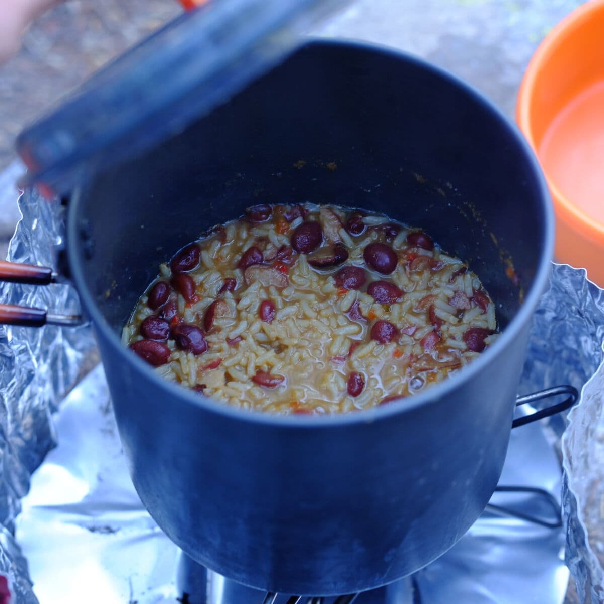
Red beans and rice with chopped up summer sausage and parmesan cheese.
The next morning was an early start with amazing weather ahead of us.
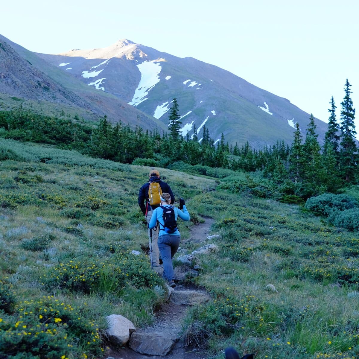
Andrew and Randi start off with Missouri dead ahead.
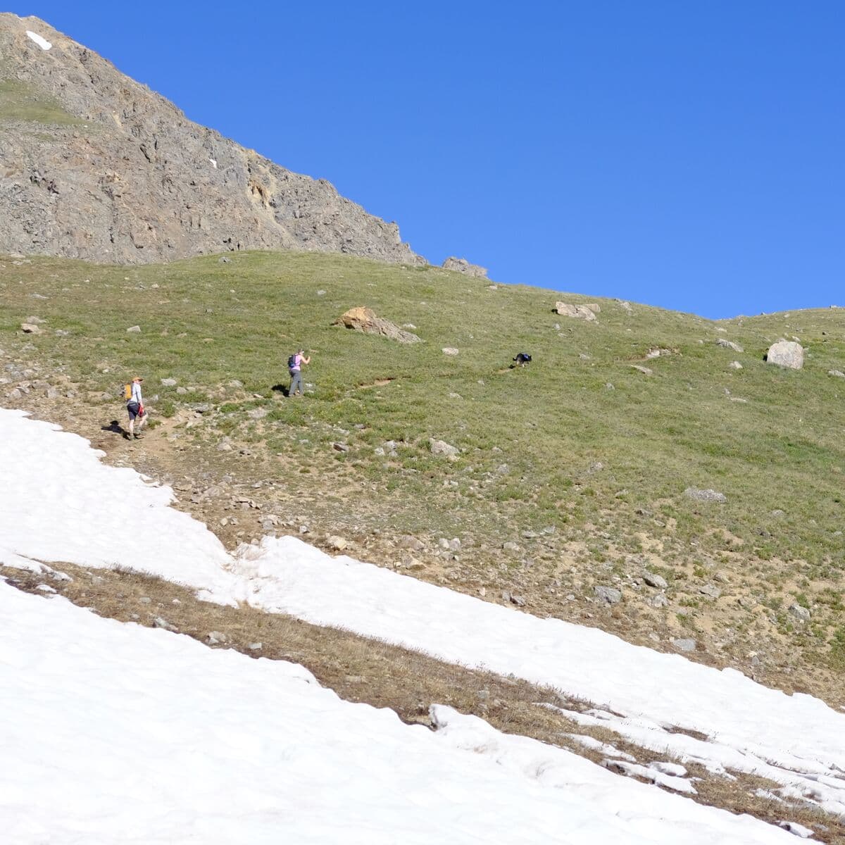
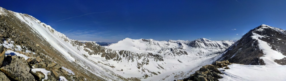
The morning warms up fast as we come out of treeline. Even in early July, plenty of snowfields were crossed.
Marley leading our crew up and up and up.
Marley (Andrew’s pup) was a trooper, but the rocks seemed to bother his paws near the summit. May not be an ideal hike for puppers who do not have high-altitude experience.
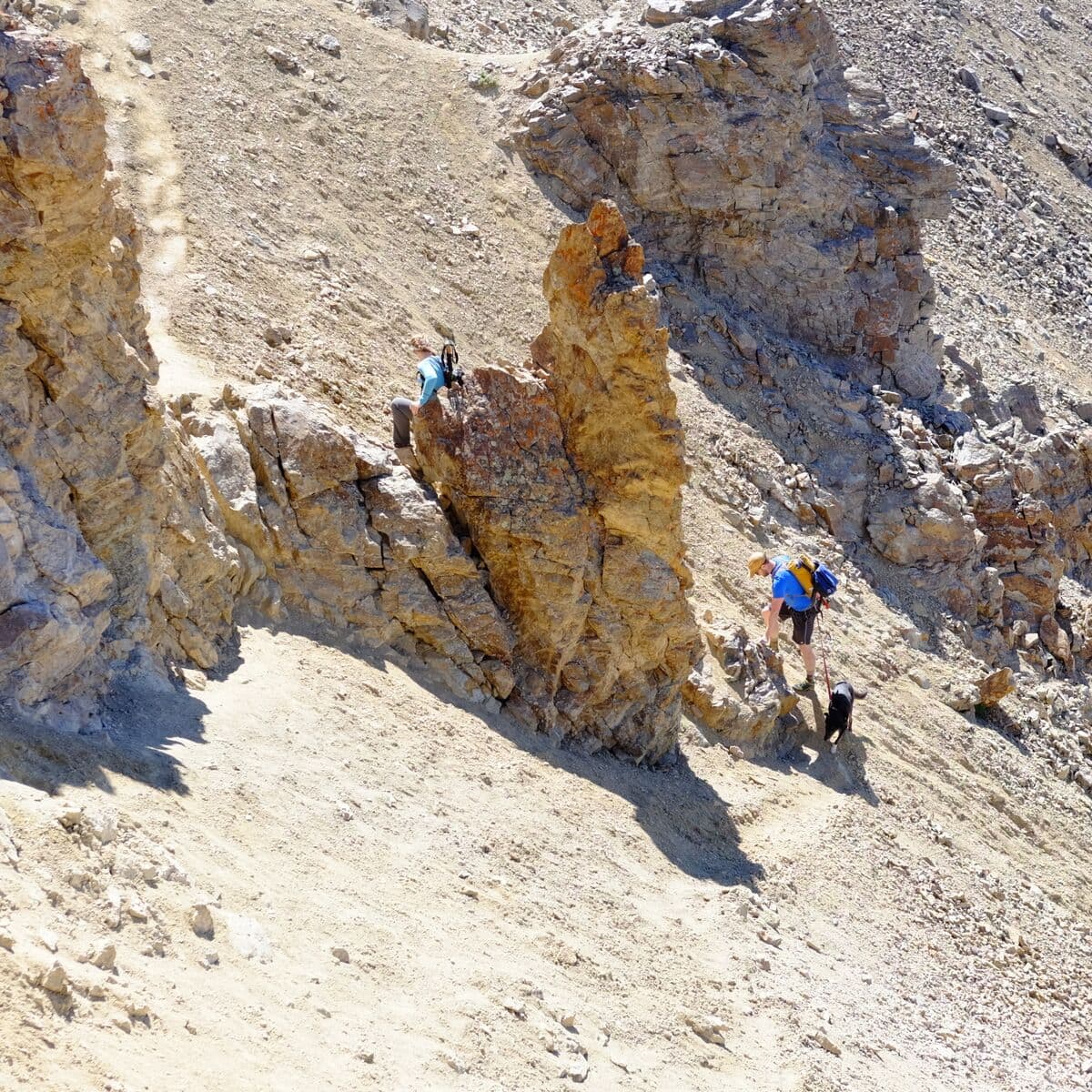
Near the summit, the only technical part of this trek.
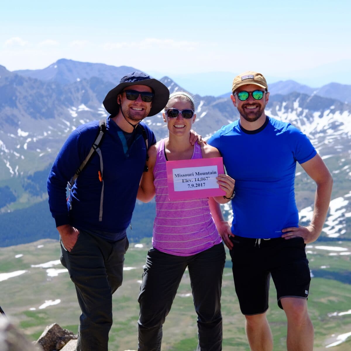
Traditional summit group shot.
Back down at camp, time to pack-up and pack-out!
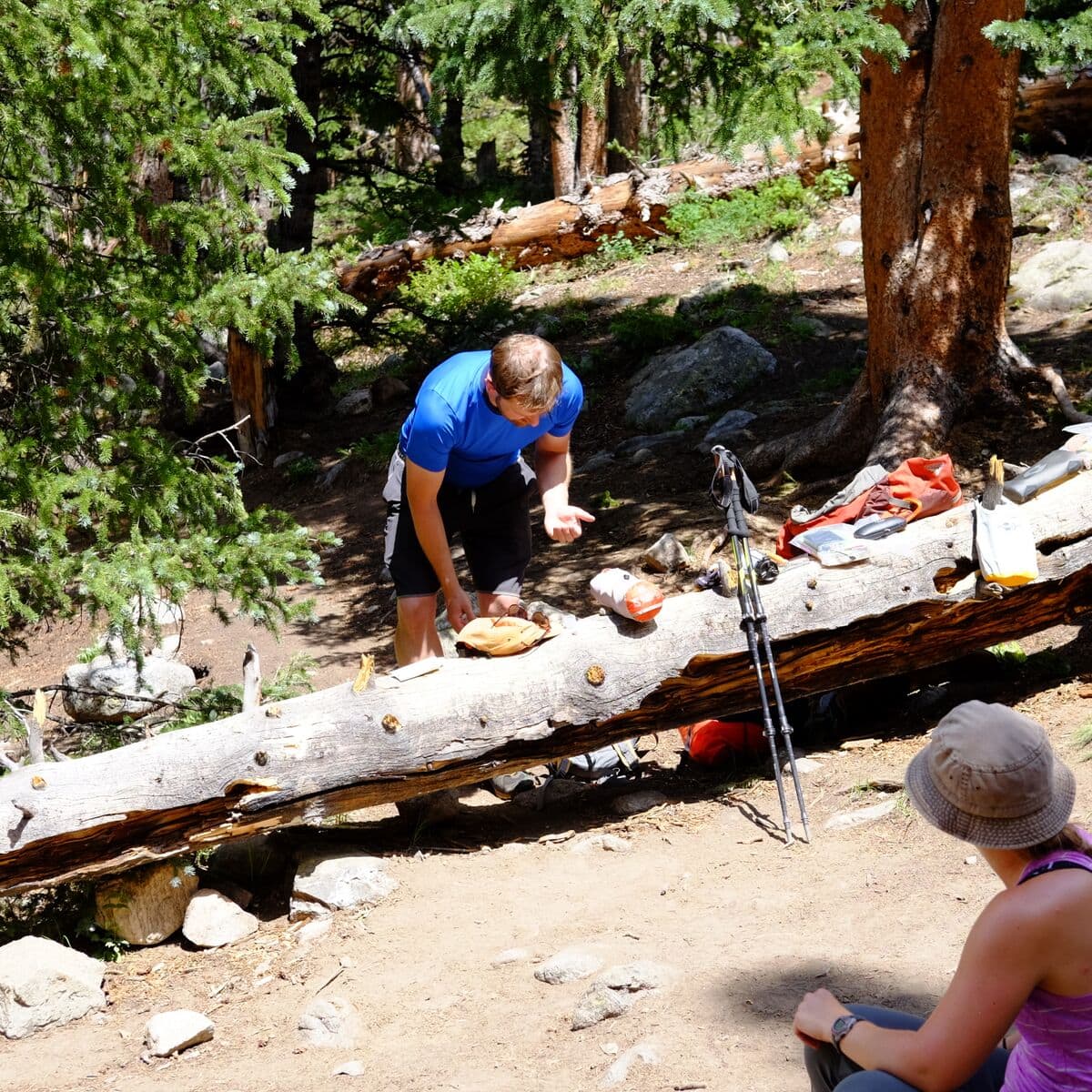
Cleaning up our campisite
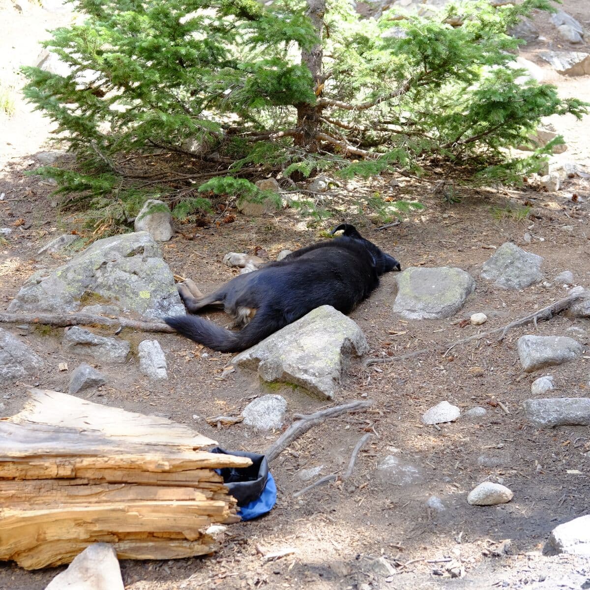
Marley is wiped out...but we still have 1.7 miles to descend.
All in all, hiking in and camping was far preferred to completing the full hike in one day. Plus, Tyler fair preferred the tolerable 6am wake-up call compared to 3am…but he is a bit of a whiner about mornings.
 Randi
Randi