Randi
Posted: July 14th 2018 Updated:
July 28th 2026
Crested Butte to Crystal Mills via Schofield Pass
During our brief weekend in Crested Butte we elected to hike the famed Crystal Mill, as neither Tyler nor I had seen the location. This hike is a difficult down then return uphill trek. The varied terrain, ranging from woods, aspens groves, canyons, and meadows make it well worth the journey.
Quick Stats
Saturday, June 23, 2018 7:14 AM MDT
Distance: 14.8 miles (roundtrip)
Duration: 5 hours, 55 minutes, and 57 seconds
Average Speed: 2.5 mph
Minimum Elevation: 8905 feet
Maximum Elevation: 10727 feet
Total climb: 3541 feet
Total descent: 3551 feet
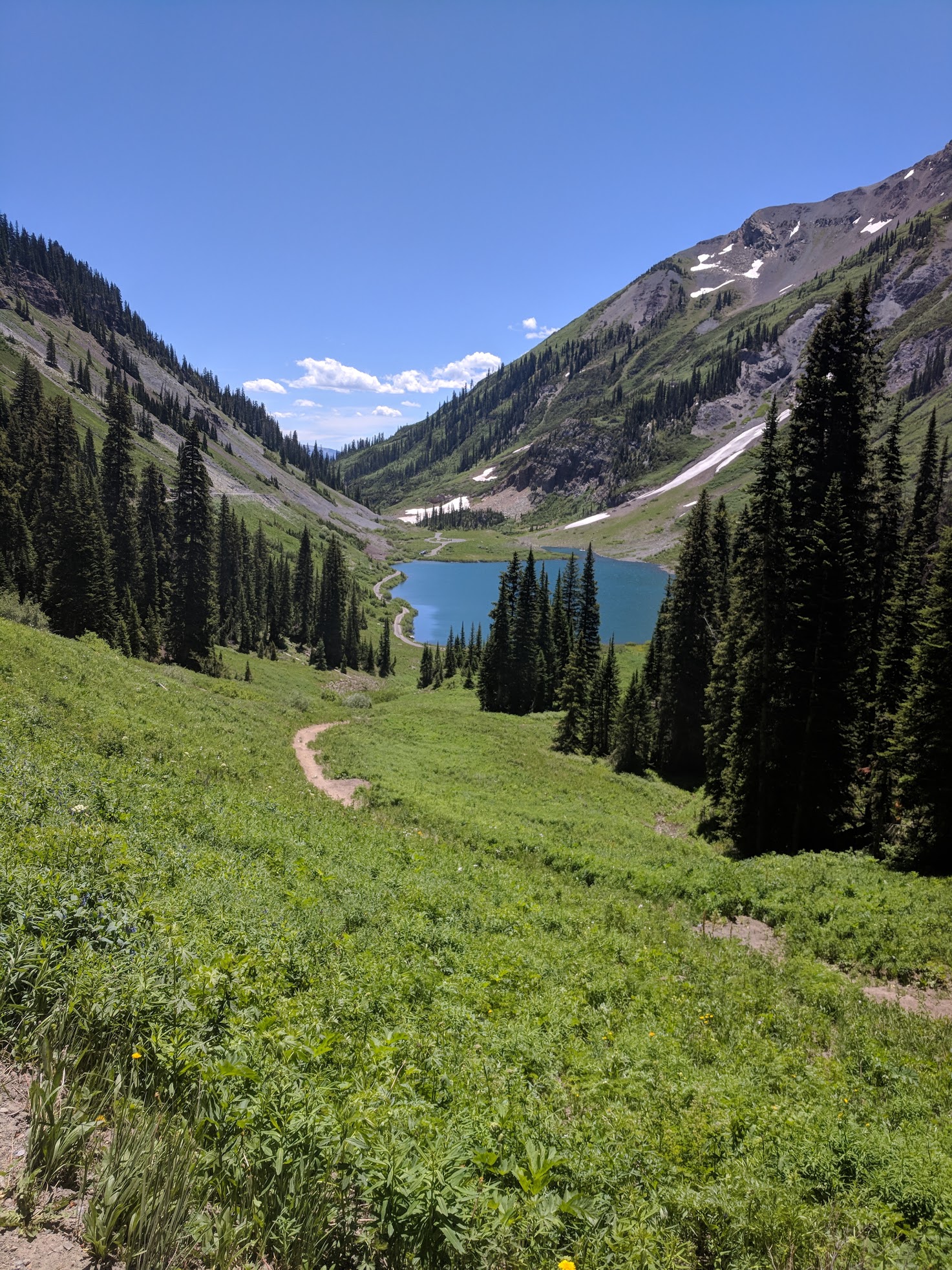
We parked just shy of the summit of Schofield Pass. There was a great parking spot right at the temporary road closure sign (3900’18.9”N 10701’51.3”W) ~12 miles up Co Rd 317 from Crested Butte. We parked just shy of one mile from the beautiful Emerald Lake.
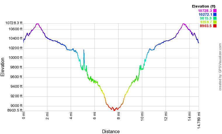
Our Crystal Mills Elevation Profile
Emerald Lake, just shy of the summit of Schofield Pass.
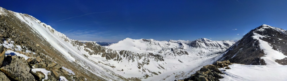
In no time we had reached the summit of Schofield Pass…and with that, ~6 miles of downhill lay ahead of us.
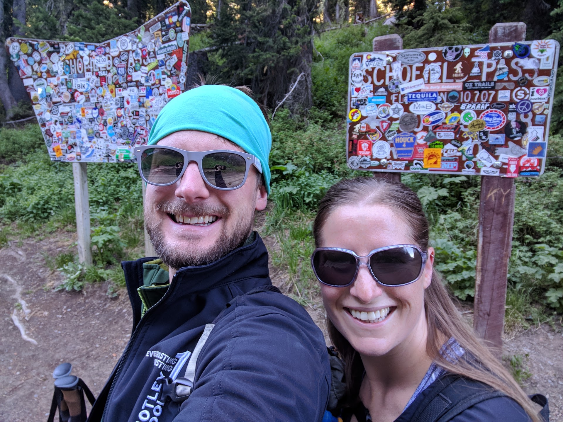
Summit of Schofield Pass.
The trail then opened up in a expansive meadow, where we had a brief reprieve from the descent and the bright sunshine on our shoulders.
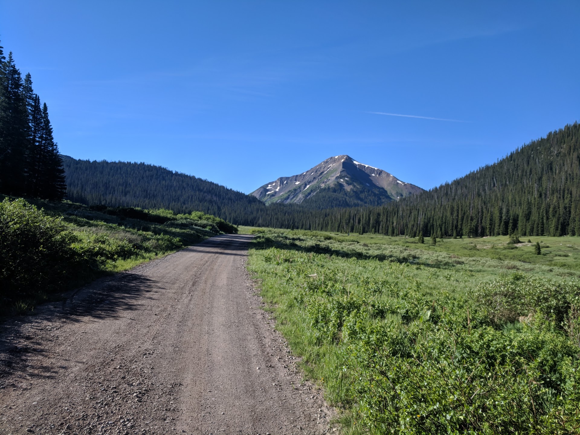
Summit of Schofield Pass.
The trail became rocky and steep as we neared Devil’s Punch Bowl and the creek crossing of the South Fork Crystal River.
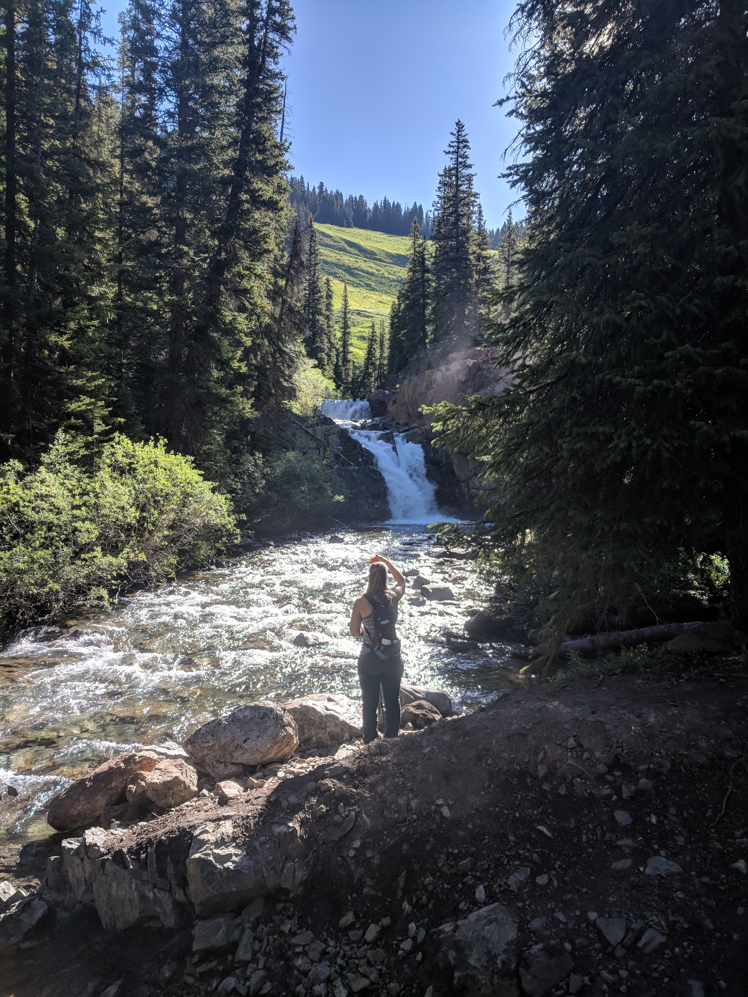
Devil's Punch Bowl in the early morning hours.
First creek crossing...Randi surveying the deep waters.
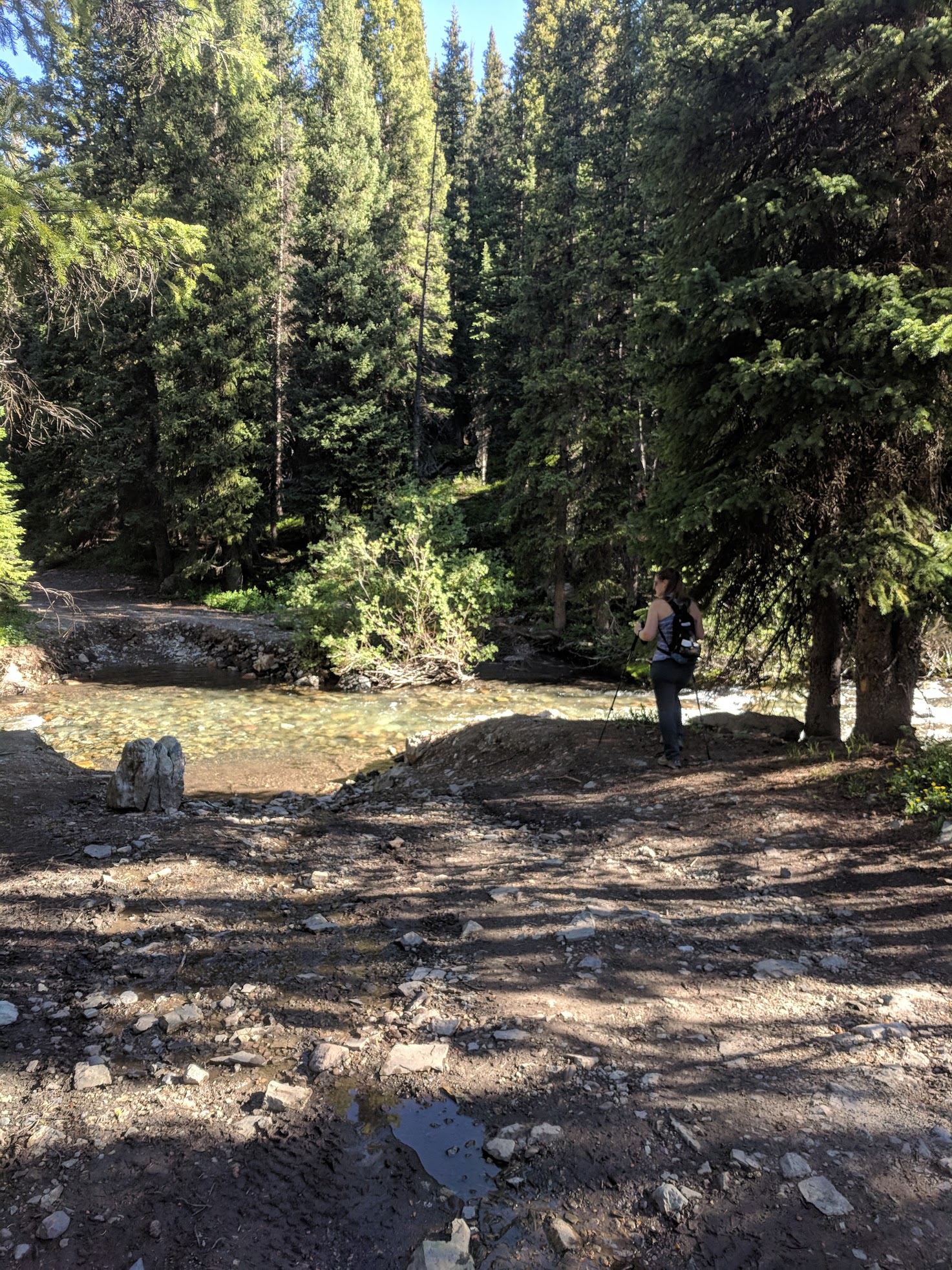
I thought for sure we would have to wade across the deep creek, but then Tyler found a hidden gem to the west of the road…a magical single track that enabled us to avoid the two deep creek crossings! Score one for the Ty-Guy!
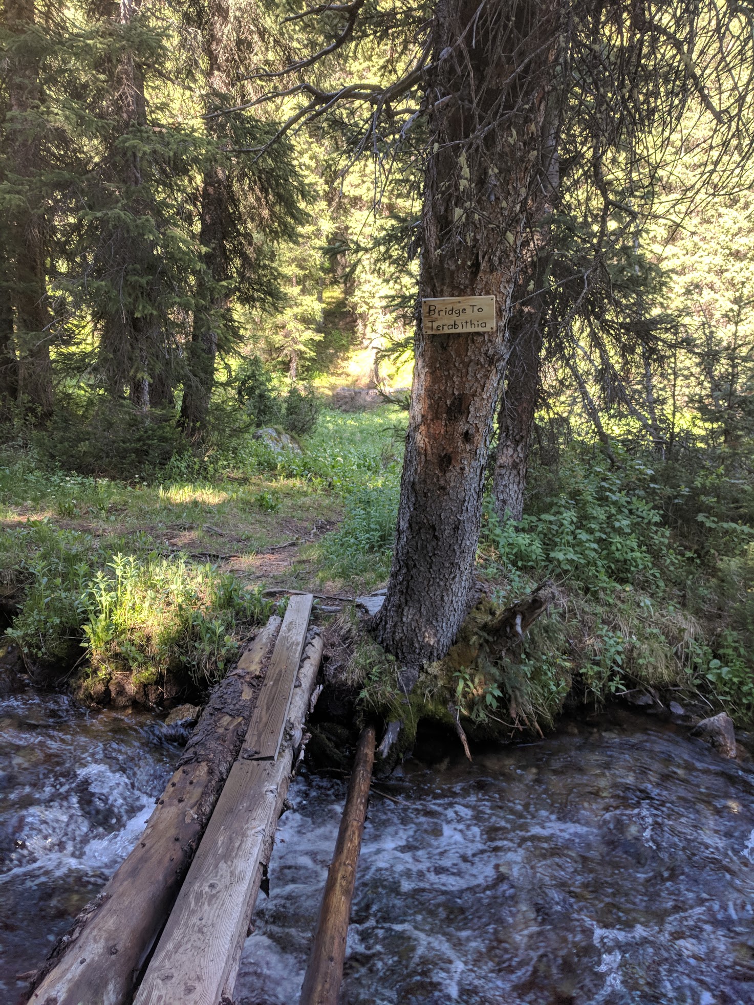
Just to the west of the road at the creek crossing is a small foot bridge with the signage 'Bridge to Terabithia'...saved us from the creek crossings.
The little single track popped out right at the second creek crossing through the willows.
Where the single track put us back onto Schofield Pass Road...right through the willows straight ahead.
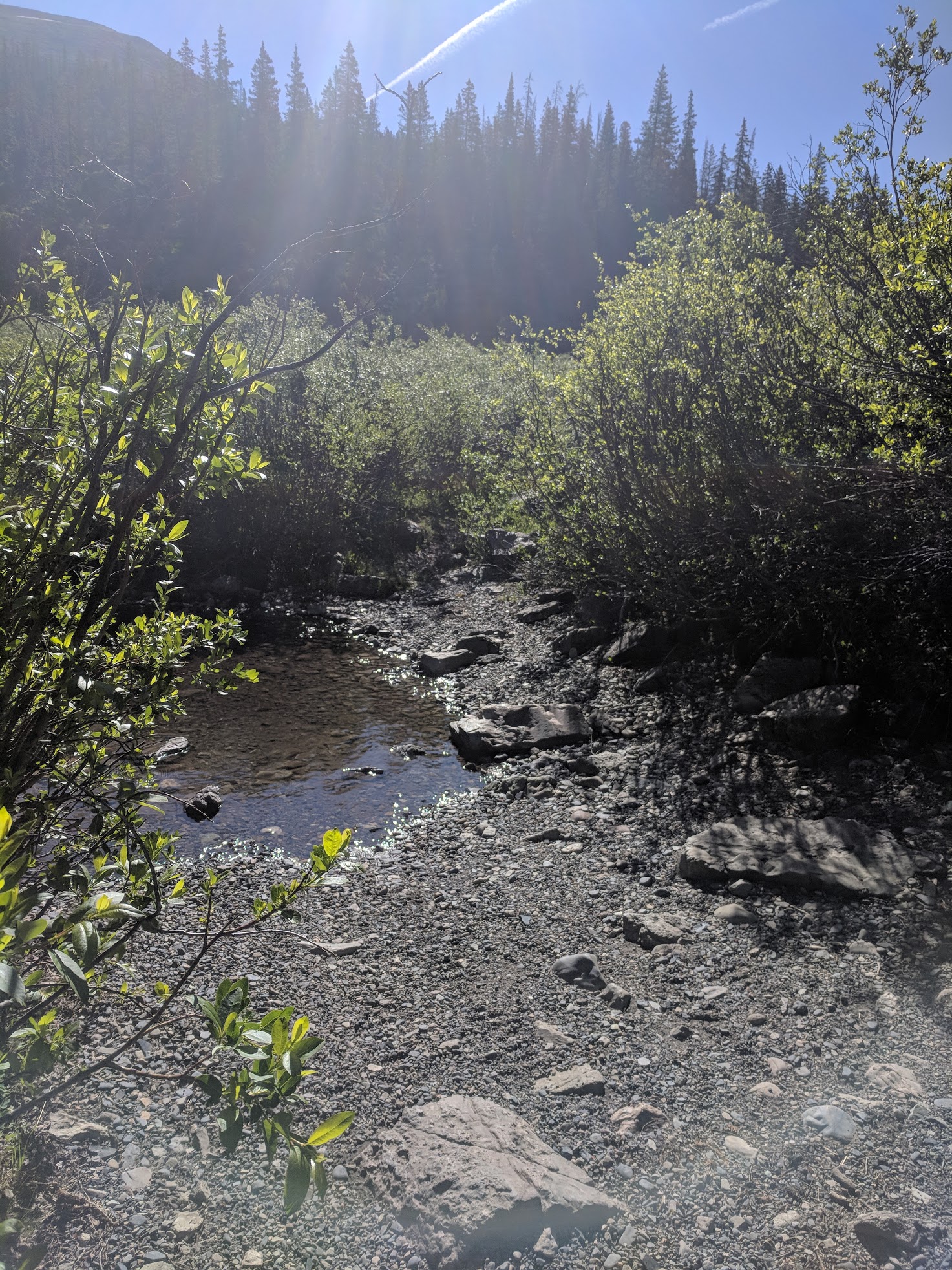
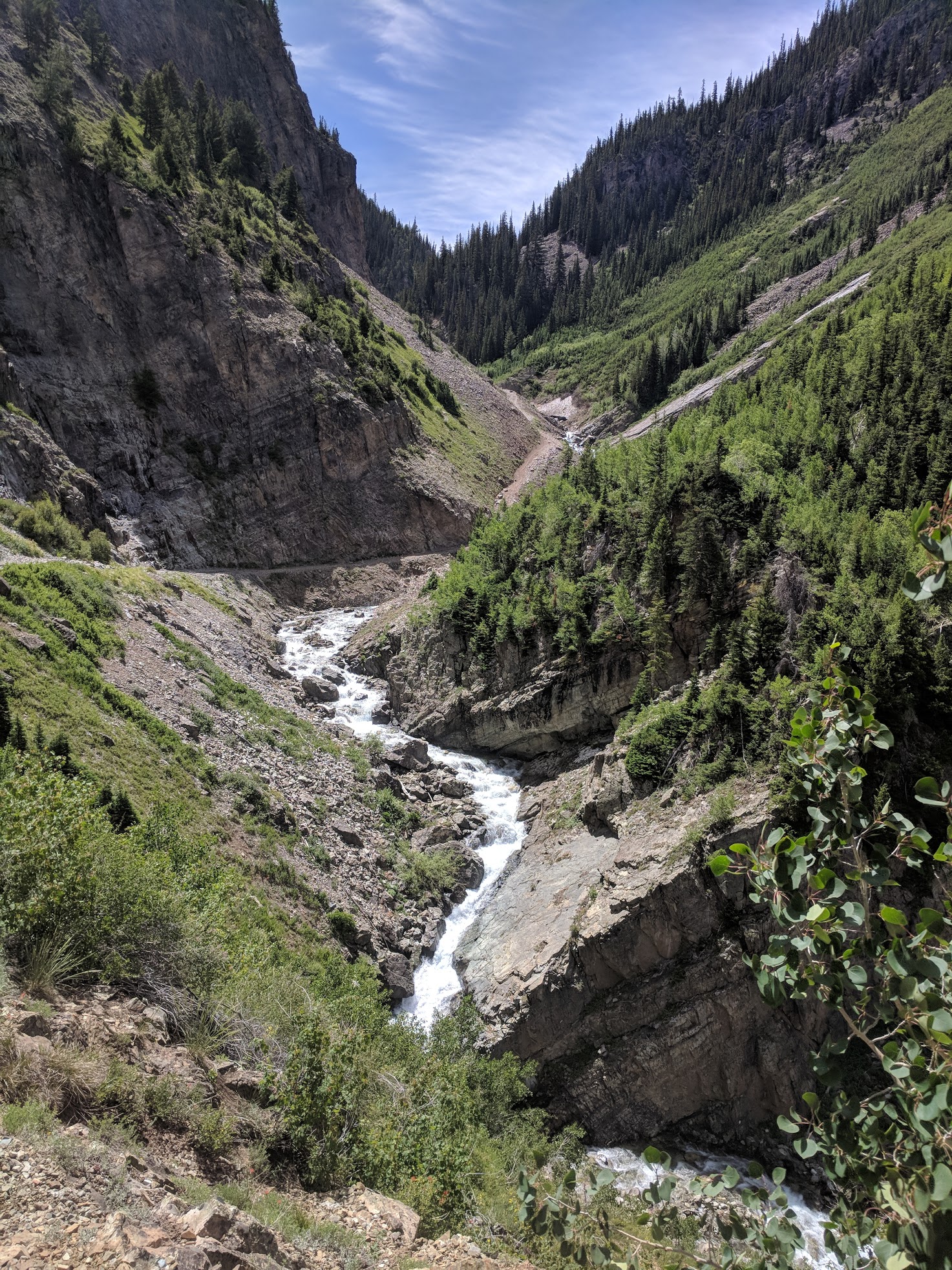
The trail then descended into a gorgeous canyon. With each mile we hiked down, we knew the trek up would be warm and steep.
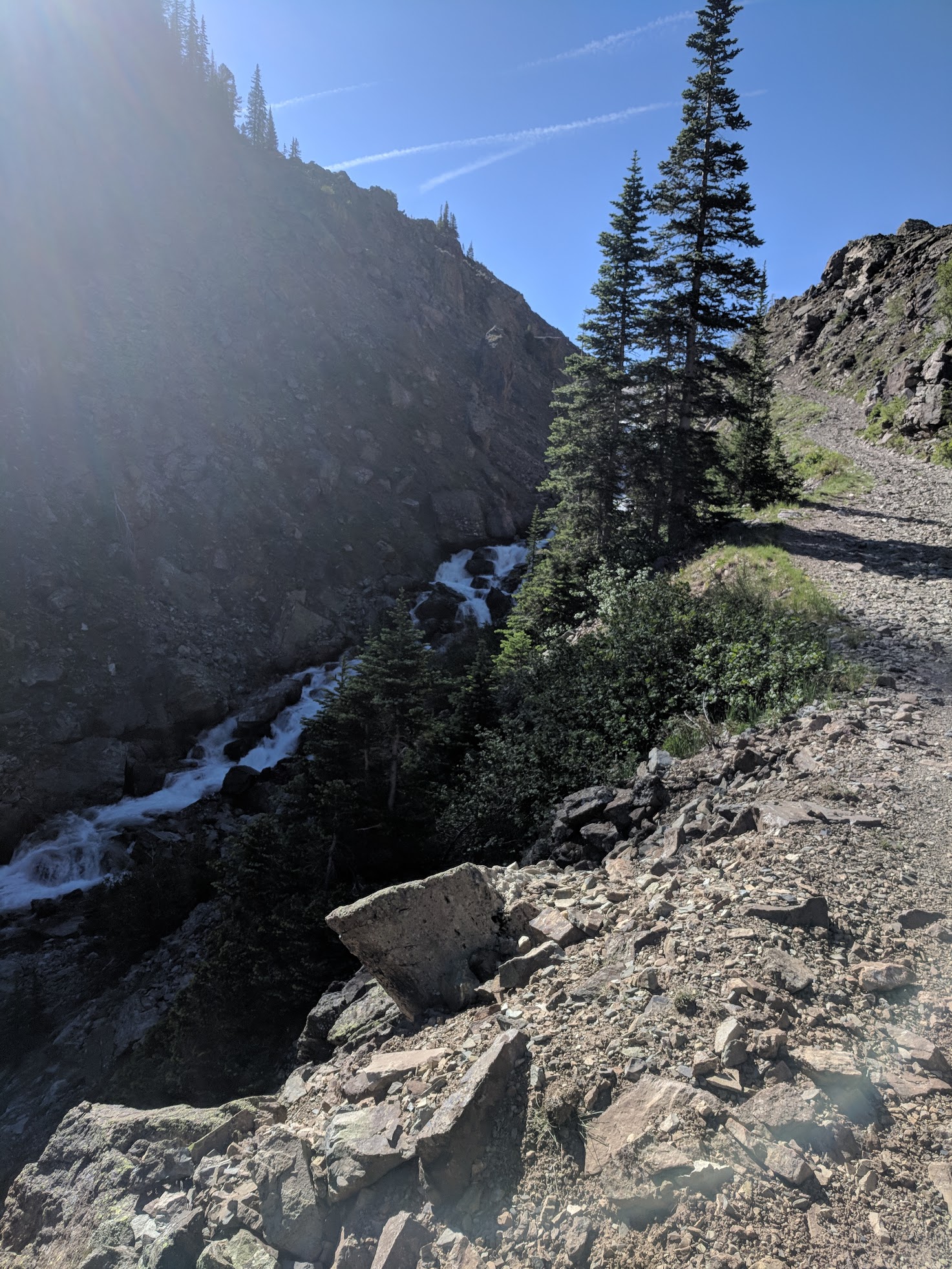
The water rushed down the canyon along side us.
A large rock slide stood in the middle of the path, blocking the ATVs, Side-by-Sides, and other 4WD adventurers…only hikers and bikers are passing through now.
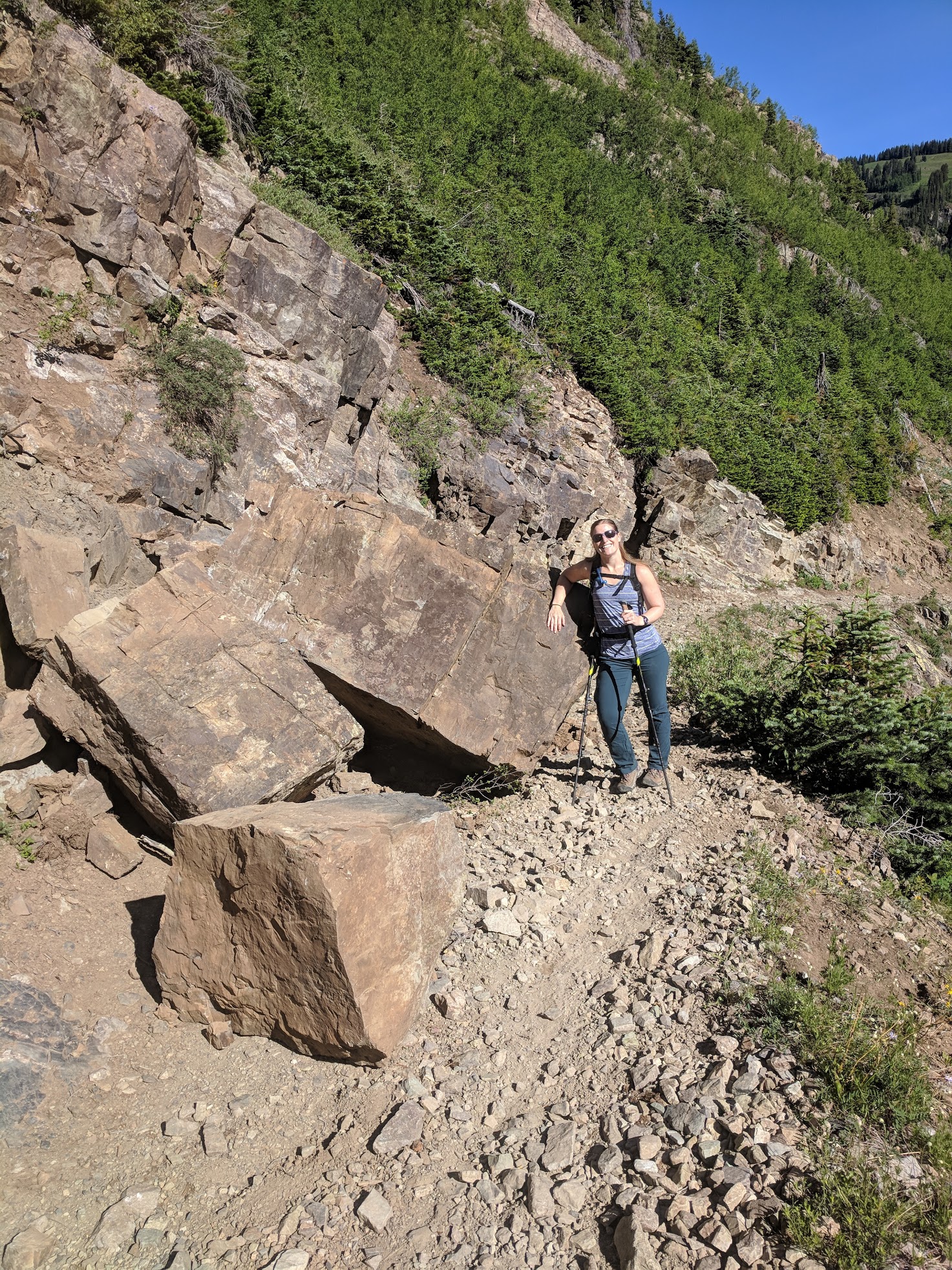
A Randi for scale.
After crossing a small bridge we continued down and down into the town of Crystal.
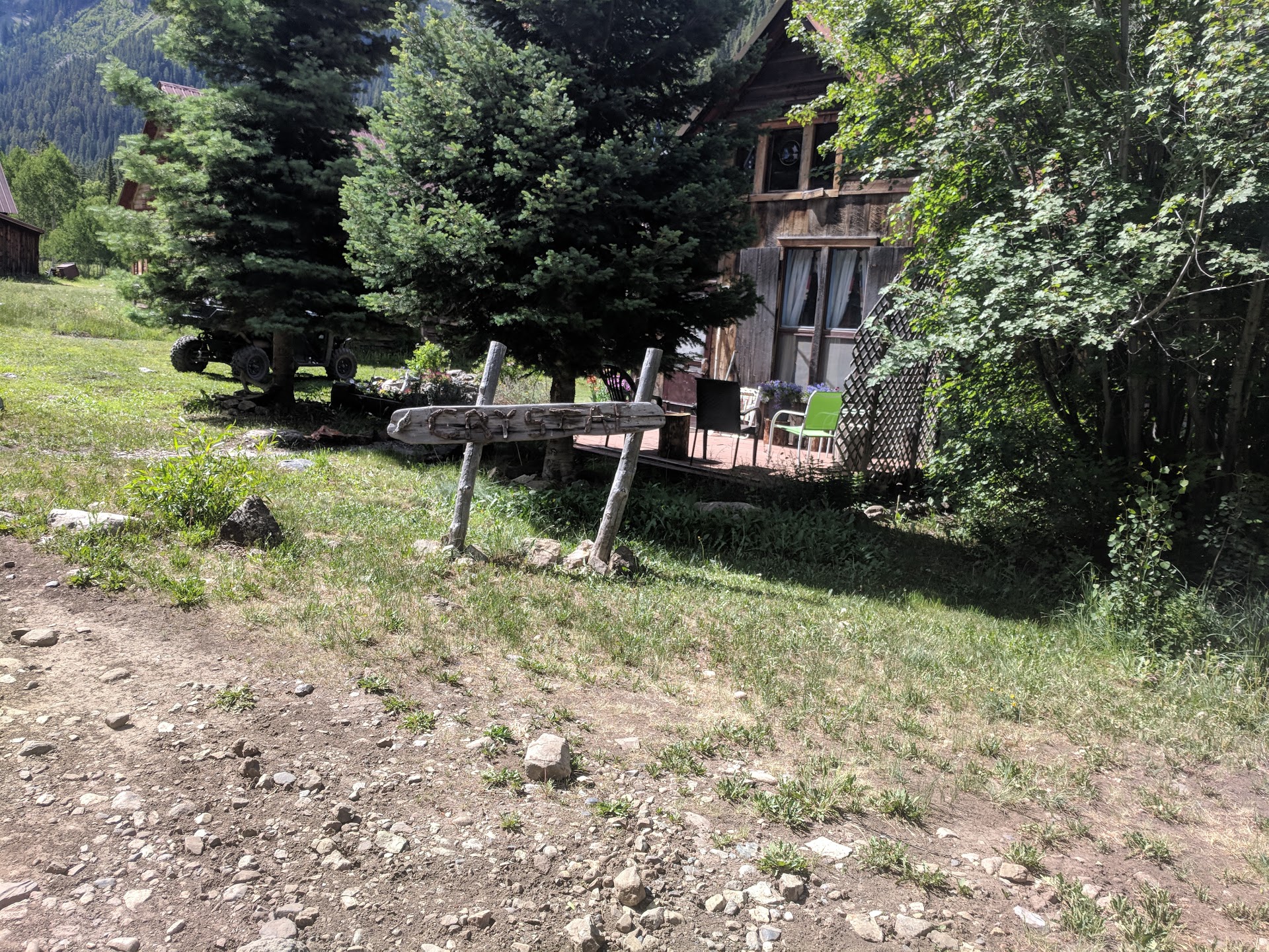
The small town of Crystal.
Finally, our destination was reached…Crystal Mills.
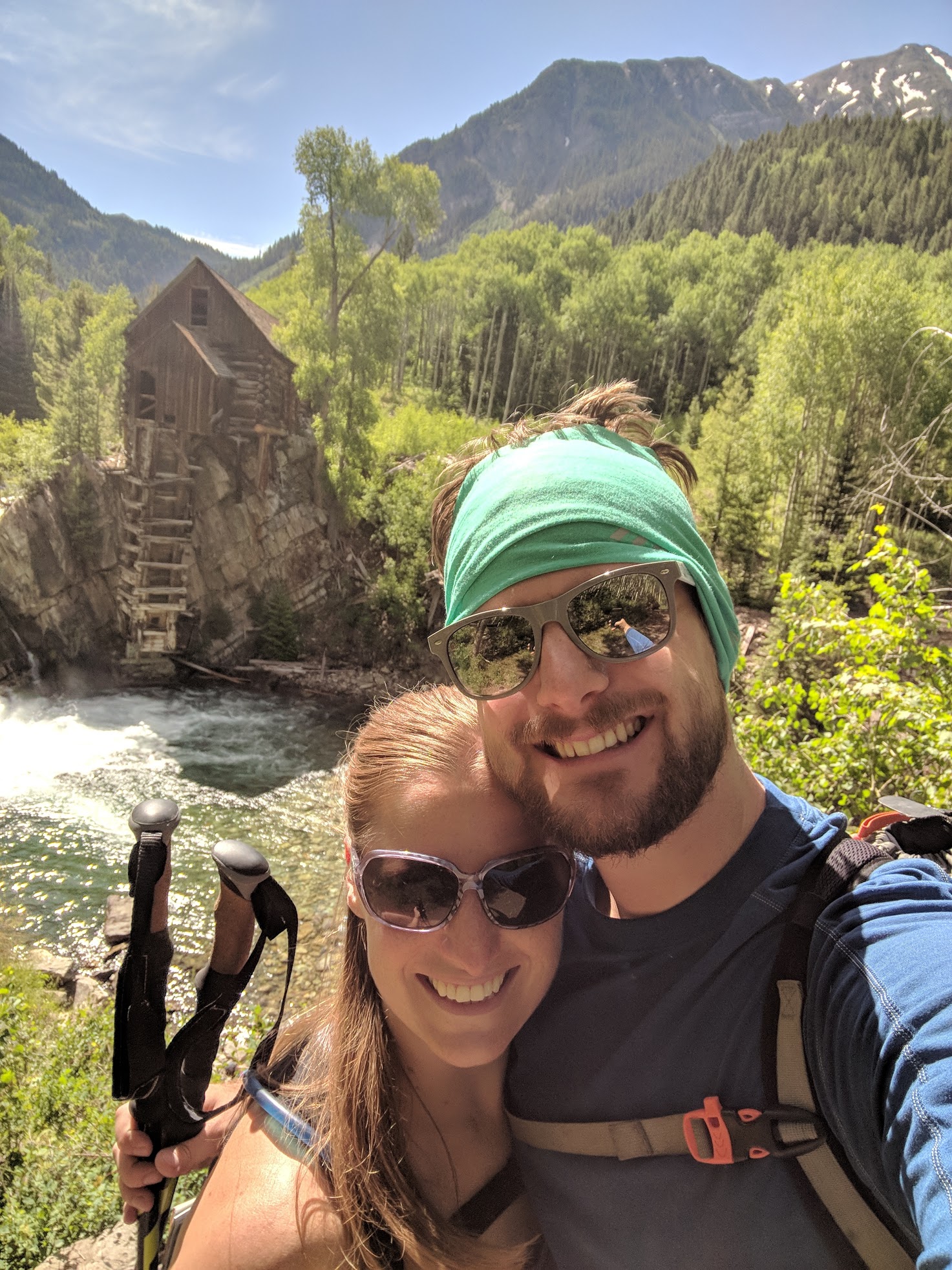
crystalmills11
We enjoyed some delightful homemade fudge mid-hike. We had gotten the treat the day before as we drove over Monarch Pass at the Monarch Crest Gift Shop.
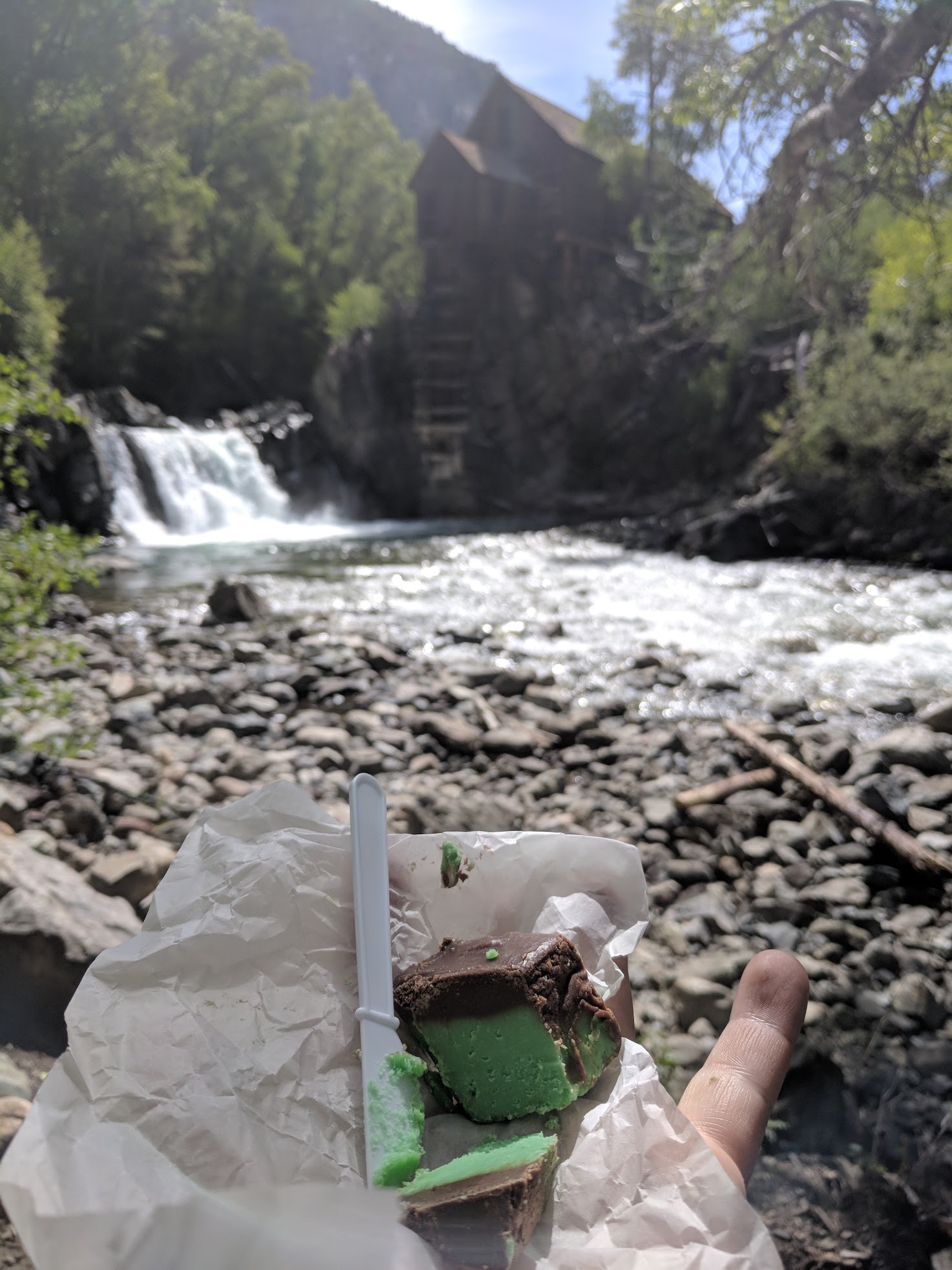
crystalmills12
After the short break it was time to make the seven-plus mile return trip…uphill…so much uphill.
crystalmills13
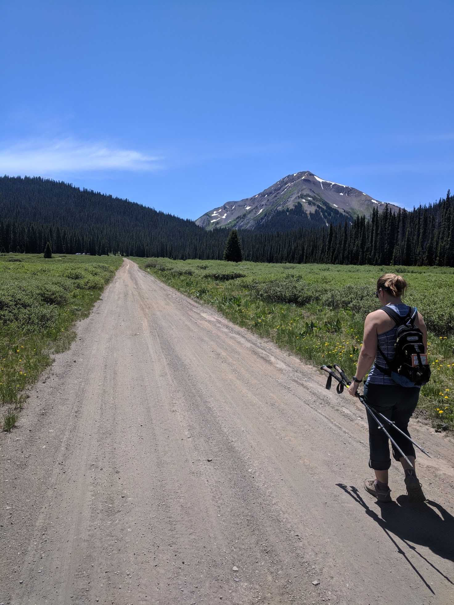
Making our way back across the meadow towards Crested Butte.
All in all, it was a bit longer than we anticipated, but well worth all the views and adventure.
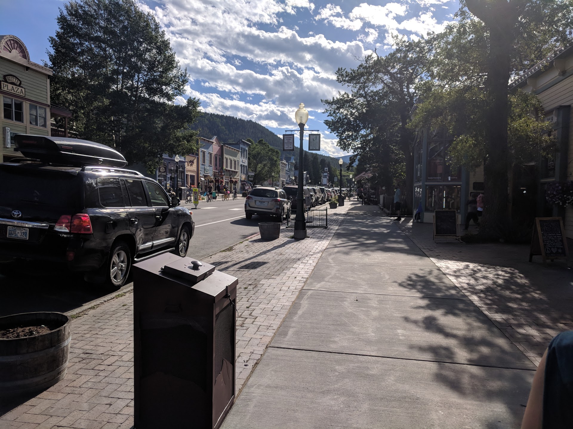
As a bonus we were able to enjoy the end of Bike Week in Crested Butte, fourth weekend in June.
 Tyler
Tyler