
Tyler
Posted: June 4th 2018 Updated:
July 28th 2026
La Plata
Quick Stats:
Saturday, June 2, 2018 5:47 AM MDT
Distance: 9.7 miles
Duration: 8 hours, 3 minutes, and 13 seconds
Average Speed: 1.2 mph
Minimum Elevation: 10109 feet
Maximum Elevation: 14108 feet
Total climb: 4173 feet
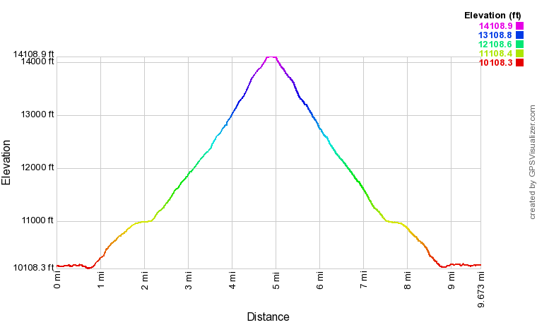
Elevation Profile, up, up, and away!!!
The first trailhead and camping spot was very easy to find. It is RIGHT off the paved road
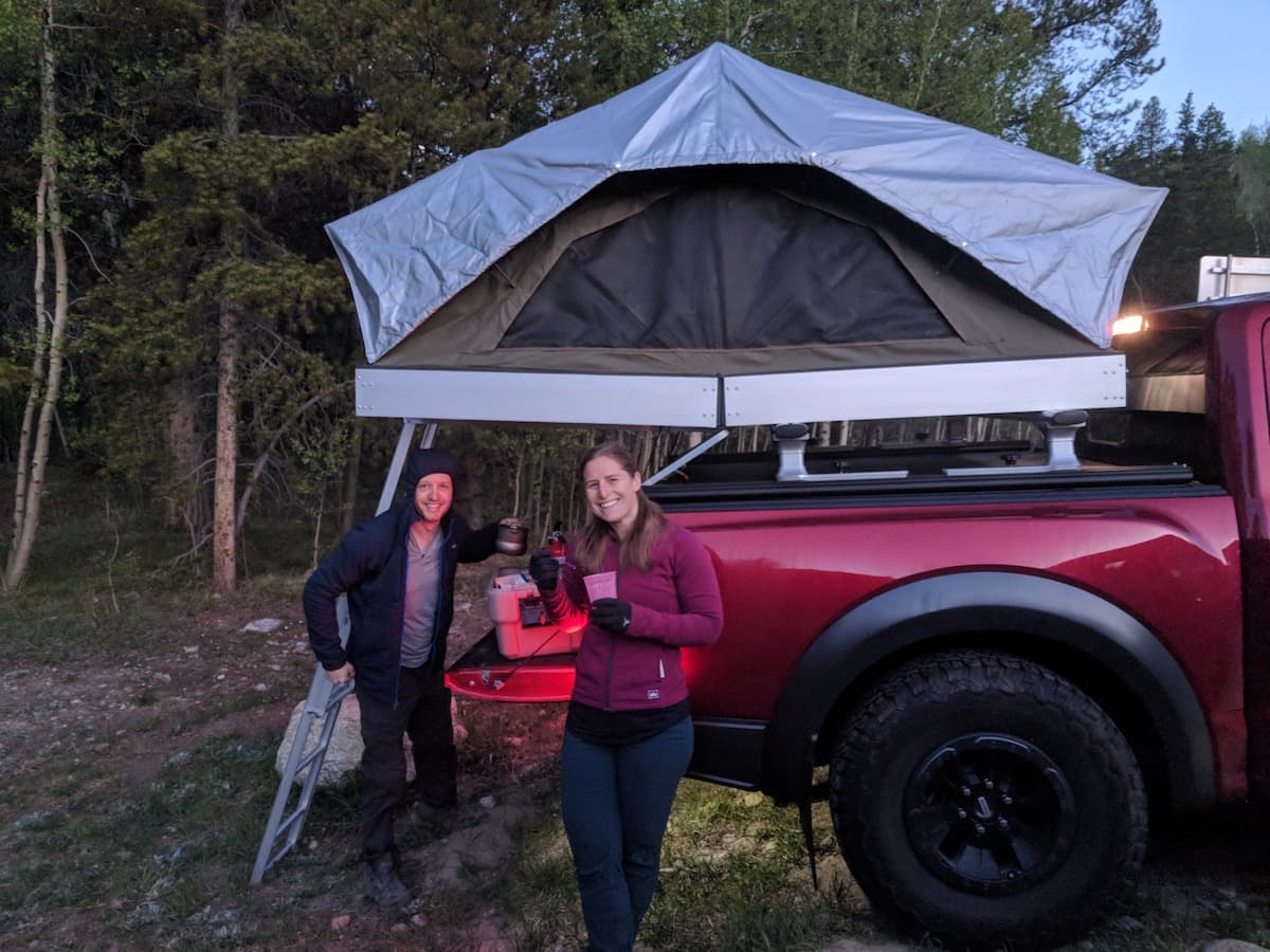
Camping at the trailhead and eating breakfast
There is an okay sized parking lot (~15-20 cars) with plenty of semi-dispersed camping around. When we called the Leadville Rangers Station they said fires were permitted assuming they were inside existing fire rings.
Most of our group took the camping spot that was positioned near the quick moving North Fork Lake Creek.
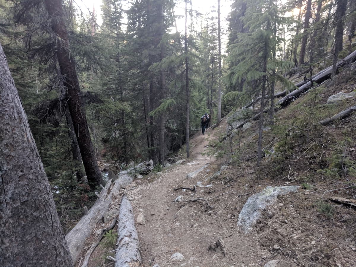
The real start of the path was down the public road from the trailhead.
The first 2000 verticle feet were all under treeline near the river
It was cool to be near running water for the first section of the hike without having to much worry about getting wet. There was only one log crossing and no one from our group fell in (this is rarer then it should be).
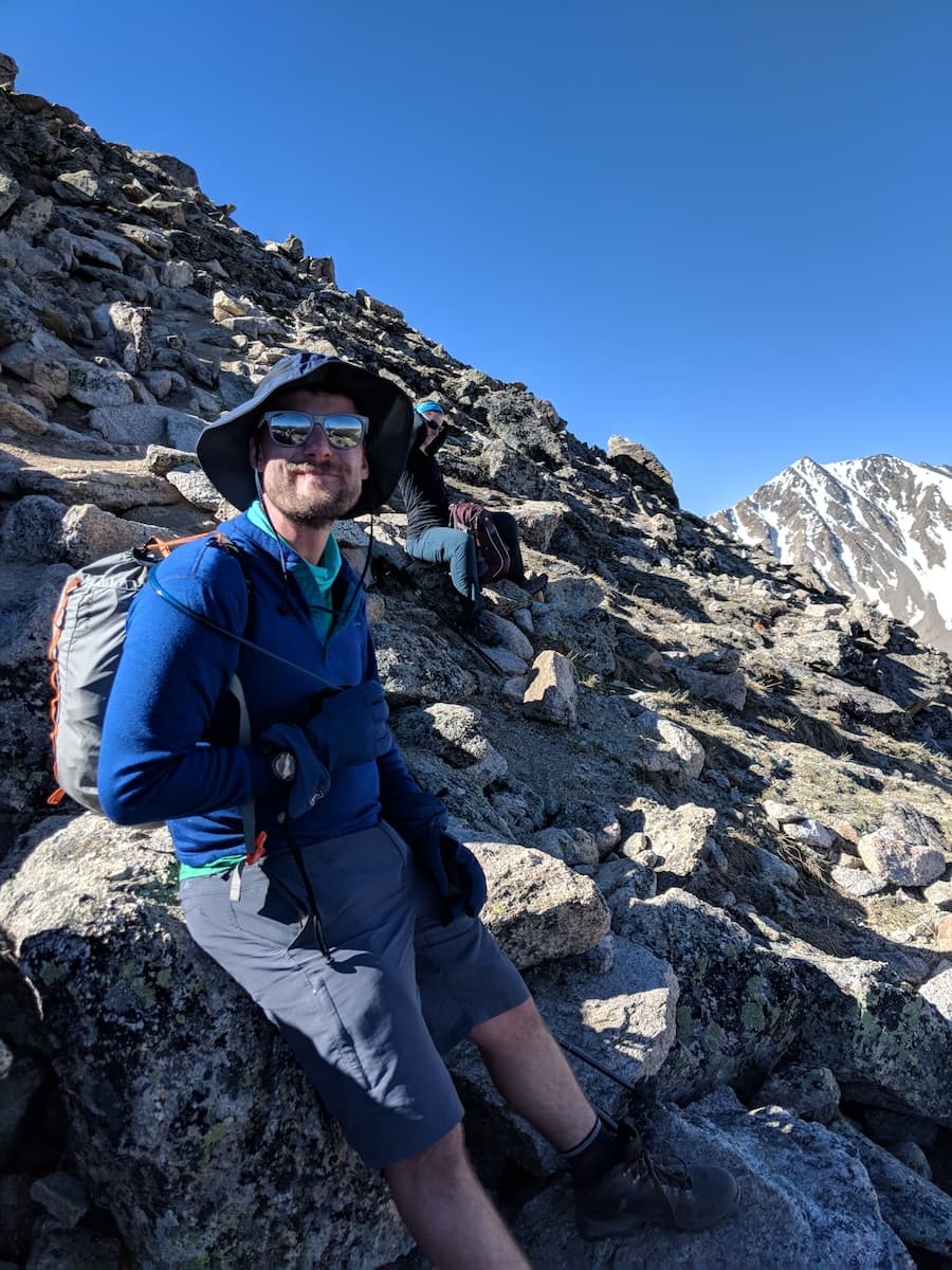
Quick break above tree line
Our group was 6 large including one dog and two people new to the state who were still acclimating to the weather, all of which did an awesome job, but due to time and puppy paw constraints the group cut in half just above tree line.
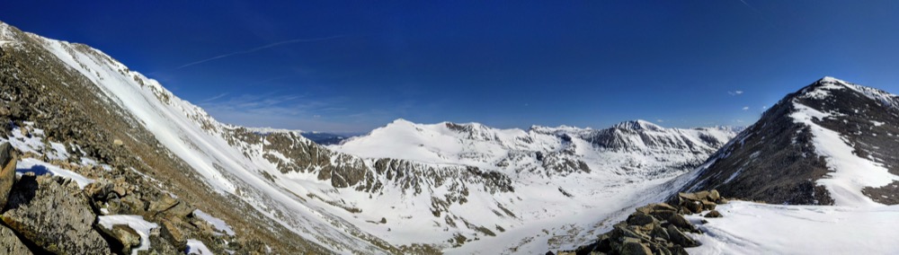
Snow was quite limited for being such an early season hike but still had a bit of snow on our way up and at the summit.
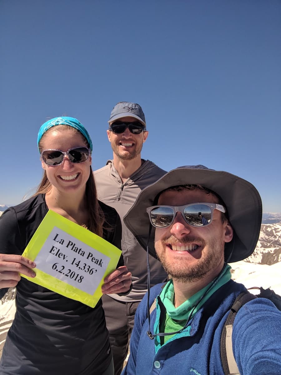
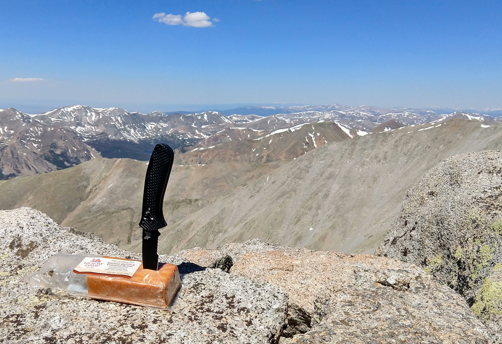
View from summit
We had a relatively peaceful trip with few other hikers on the path. The wind was really calm allowing us to not worry too much about freezing.
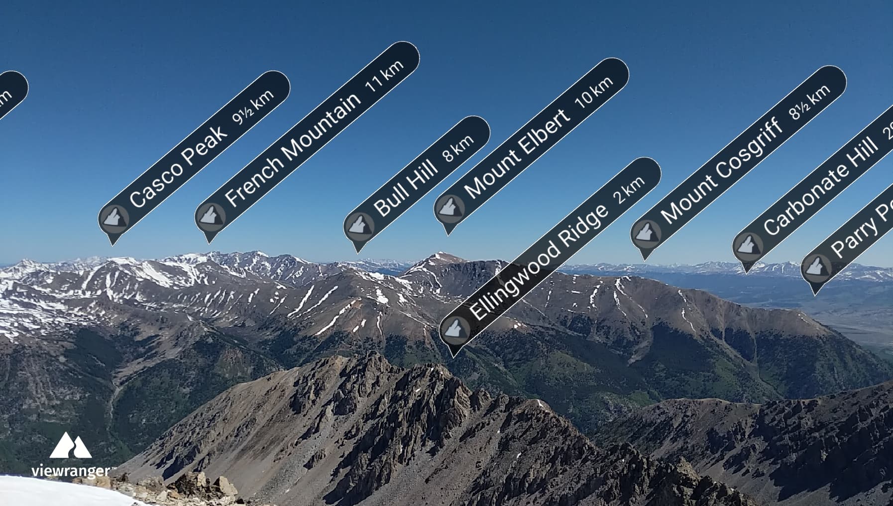
Neighboring Peaks
From the top of La Plata we could see several neighboring peaks including Mt Elbert, the tallest point in Colorado.
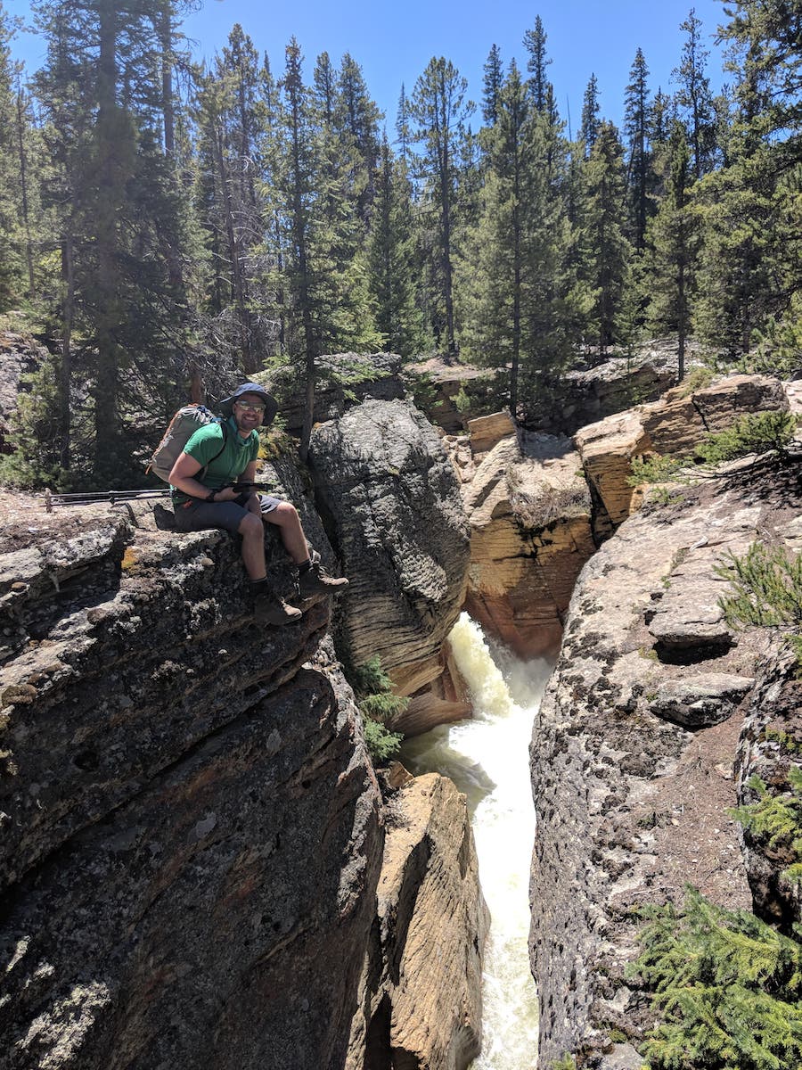
Our friend the mighty roaring river
The river ran below most of the trail and under our campsite, it was loud and very pretty to look at. The rushing water ran about 20 feet below you so you didn’t have to much of a concern about it rising all sneaky-like in the middle of the night.
 Randi
Randi