
Randi
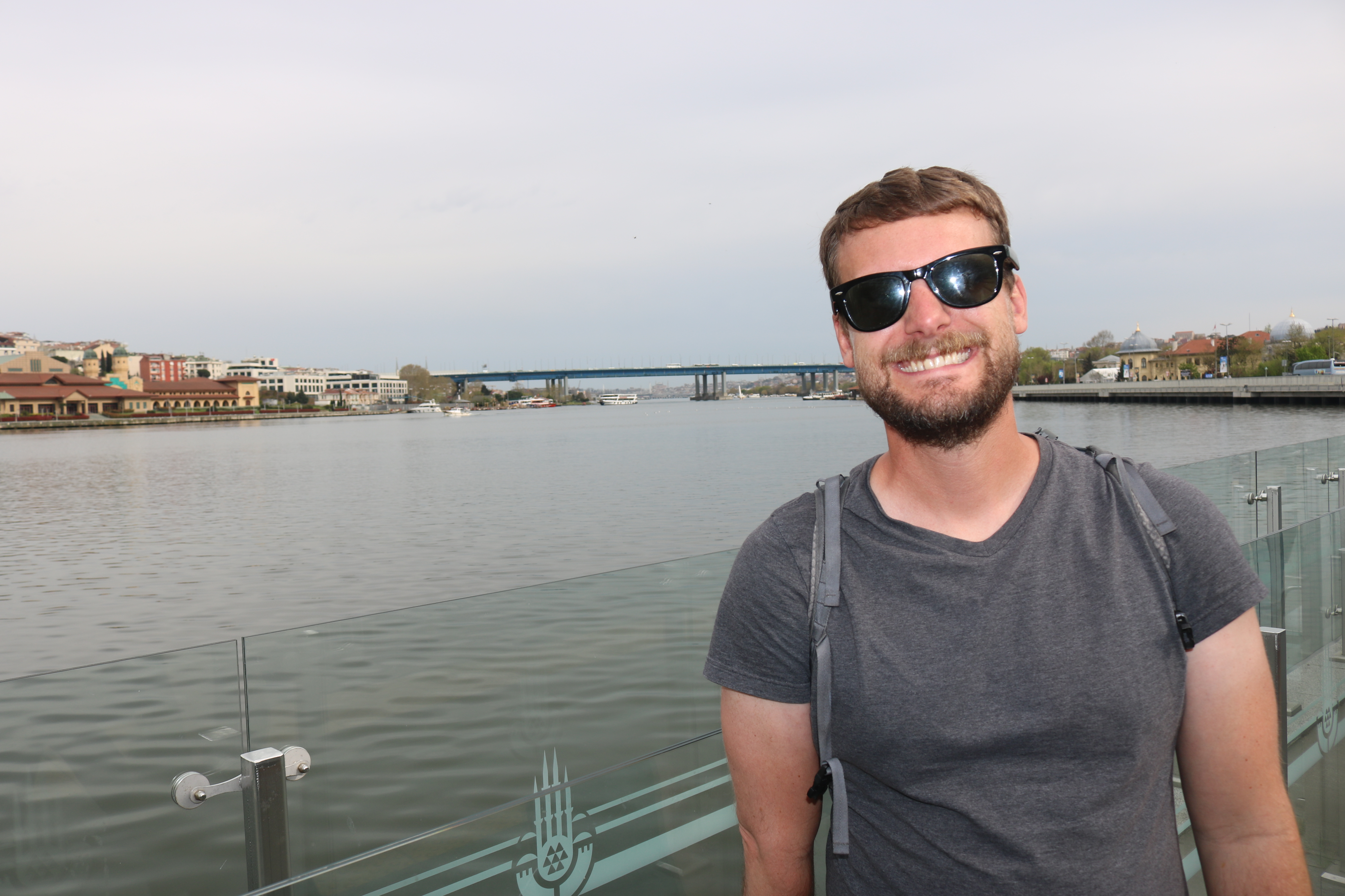
Tyler
Posted: January 28th 2017 Updated:
July 28th 2026
Mt Huron
We hiked Mt. Huron via the standard Northwest Slope, August 2016.
We opted to camp at the trailhead (South Winfield) after the three hour drive from Denver. The road to the trailhead outside of Winfield was easily traveled by my 2004 Honda CRV. The night was surprising cold for mid-August.
The Hike: 6.5 miles roundtrip, with 3,500 feet elevation gain, rated a Class 2. The plan was to head out of camp by 6am. I think it was 7am before we were actually on the trail…some people really need their chai tea in the morning. We hiked it slow and steady and were back to camp for a snack by 1pm. We often find that when hiking with a group on steeper climbs we travel about 1 mile/hour including breaks and time spent at summit.
The Camp: Free camping is available along the left side of County 390 from highway 24 to the trailhead. There is no formal campground- just available primitive campsites. We held out and found a great spot after passing Winfield.
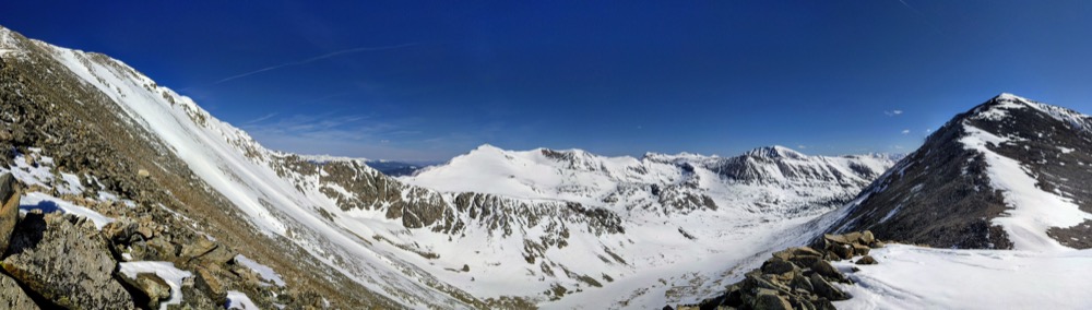
View from the approach
The approach was an easier 14er. We had some newbies with us, including Tyler’s brother (Grant) from North Carolina (he acclimated to the cold and the altitude like a rockstar).
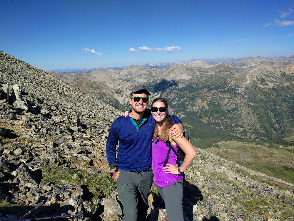
Randi and I on the way up
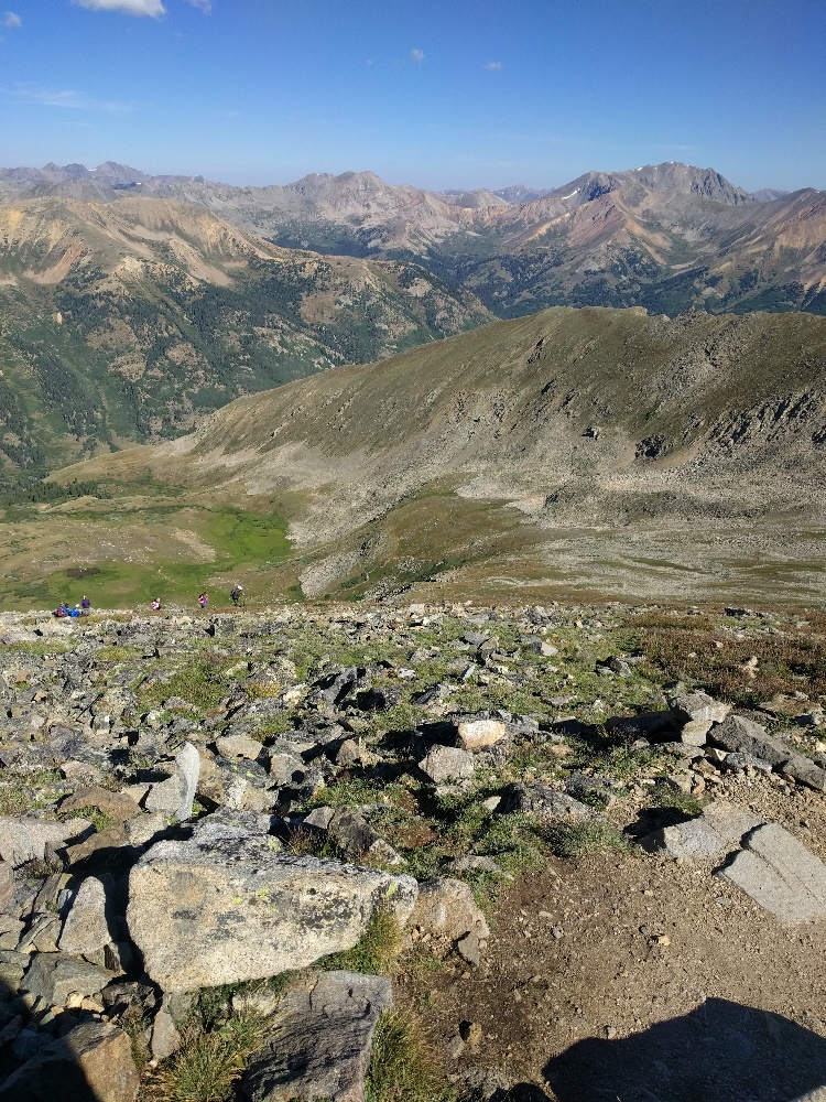
Tyler and Randi halfway up with a great view. We could not have asked for a nicer day. It was warm and sunny.
View on the way up
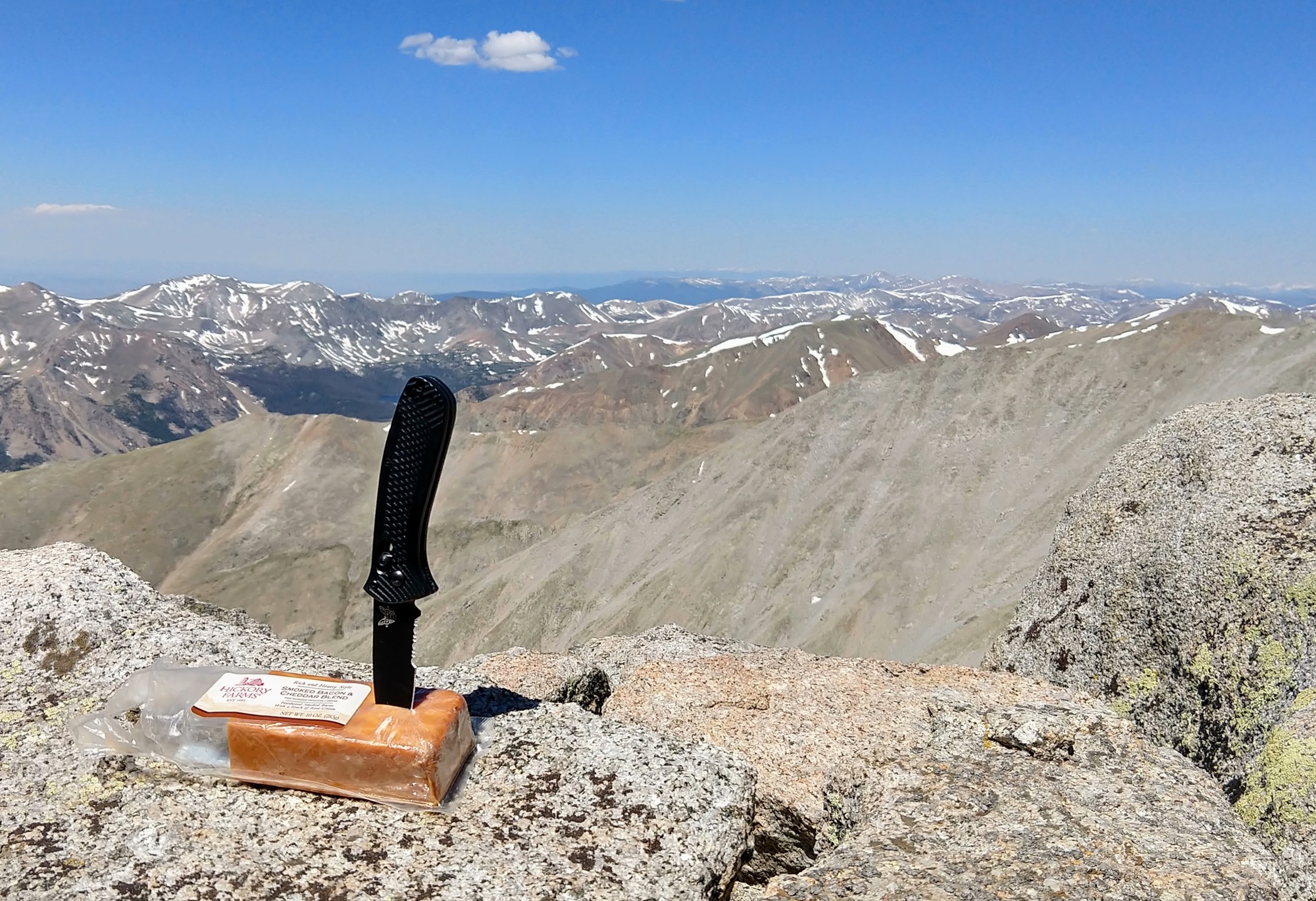
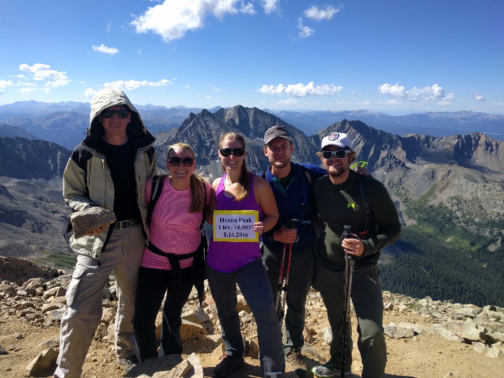
Everyone summited! Go team!!